


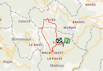

22 km | 35 km-effort


User


FREE GPS app for hiking
 SityTrail
IGN / Geographical institutes
SityTrail World
The world is yours!
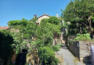
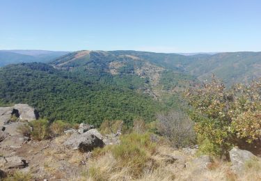
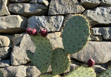
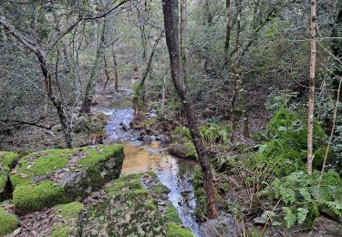
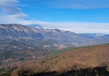
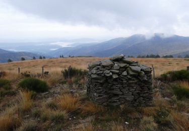
Trail Trail of 14 km to be discovered at Auvergne-Rhône-Alpes, Ardèche, Malbosc. This trail is proposed by perrierf.
Le Fabre, les Perriers , sommet aille , le malbosquet

Walking
Walking
Walking
Walking
Walking
Walking
On foot

Walking

Walking