Trail Walking Nivelles - Grambais - Tournette - Baudémont - Photo

Grambais - Tournette - Baudémont

© OpenStreetMap contributors
Length
Length
9.1 km
Max alt
Max alt
153 m
Uphill gradient
Uphill gradient
122 m
Km-Effort
Km-Effort  
10.7 km
Min alt
Min alt
97 m
Downhill gradient
Downhill gradient
124 m
Boucle
Boucle
Yes
Creation date :
2020-07-11 18:21:41.821
Updated on :
2020-07-12 17:21:04.527

(1 Reviews)

Walking
Walking
2h20
Difficulty : Medium

Scan this QR Code to open this trail in the SityTrail application

FREE GPS app for hiking

Logo SityTrail SityTrail
IGN / Geographical institutes

Download SityTrail from the App Store Download SityTrail from Google Play

Logo SityTrail SityTrail World

The world is yours!

Download SityTrail from the App Store Download SityTrail from Google Play Download SityTrail on Huawei AppGallery

About

Trail Walking of 9.1 km to be discovered at Wallonia, Walloon Brabant, Nivelles. This trail is proposed by odemeijer.

Description

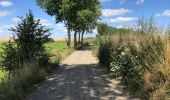
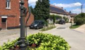
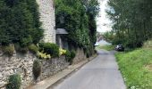
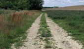
Une promenade facile, sur de petites routes de campagnes tranquilles.
On a croisé trois ou quatre voitures, grand maximum.
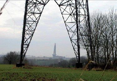
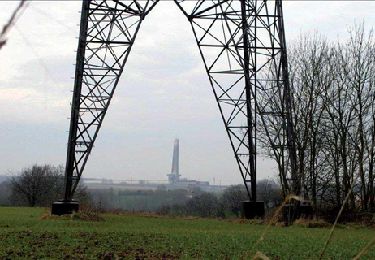
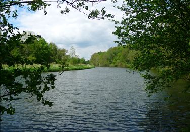
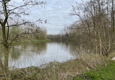
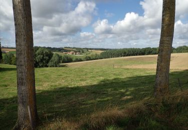
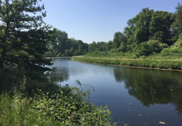
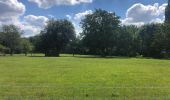
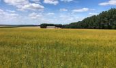
Les paysages sont magnifiques, et la faune était au rendez-vous (rapaces, oiseaux chanteurs, biche, papillons en quantité). A proximité du golf, on entend les voitures sur l'autoroute en fond, mais celui-ci passé, c'est la civilisation ne se fait plus entendre, et on profite de la campagne.
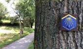
Bonus pour les amateurs : la promenade emprunte un chemin de Compostelle sur quelques centaines de mètres.

Elevation profile

Photos

Positioning

Country:
Belgium
Region :
Wallonia
Department/Province :
Walloon Brabant
Municipality :
Nivelles
Location:
Nivelles
Start:(UTM)
591015 ; 5607279 (31U) N.

Comments

Please log in to post a review or rate the element


dommage qu'il y ait tant de macadam dans cette balade


Trails nearby

Trail Walking Nivelles - RB-Bw-16_Monstreux_via-racc-1 - Photo
Walking
PRO

Walking

Difficult
(11)
Nivelles, Wallonia, Walloon Brabant, Belgium
12.8 km | 15 km-effort
3h 24min
Yes
Trail Walking Nivelles - RB-BW-16 - Raccourci 1 - Par monts et canaux, de part et d’autre de la Thines - Photo
Walking
PRO

Walking

Difficult
(9)
Nivelles, Wallonia, Walloon Brabant, Belgium
16 km | 18.9 km-effort
4h 17min
Yes
Trail Walking Nivelles - RB-Bw-16_Monstreux - Photo
Walking
PRO

Walking

Very difficult
(10)
Nivelles, Wallonia, Walloon Brabant, Belgium
20 km | 24 km-effort
5h 24min
Yes
Trail Walking Seneffe - De Arquennes à Monstreux par les vallées de la Thines et de la Samme - Photo
Walking
GUIDE
Desrumaux

Walking

Easy
(6)
Seneffe, Wallonia, Hainaut, Belgium
13.7 km | 15.4 km-effort
3h 30min
Yes
Trail Walking Braine-le-Comte - De Ronquieres vers Fauquez par le bois des Rocs et de la Houssi�re - Photo
Walking
GUIDE
Desrumaux

Walking

Easy
(9)
Braine-le-Comte, Wallonia, Hainaut, Belgium
8.2 km | 10.5 km-effort
2h 5min
Yes
Trail Walking Nivelles - Rando Bornival - Photo
Walking
gr-tech

Walking

Easy
(5)
Nivelles, Wallonia, Walloon Brabant, Belgium
13.2 km | 15.9 km-effort
3h 27min
Yes
Trail Walking Ittre - #200828 - Ittre et golf de la Tournette - Photo
Walking
Randos Ouvertes

Walking

Medium
(1)
Ittre, Wallonia, Walloon Brabant, Belgium
7.6 km | 9.2 km-effort
1h 59min
Yes
Trail Walking Ittre - Ittre-Nord - Photo
Walking
samlrando

Walking

Very easy
(1)
Ittre, Wallonia, Walloon Brabant, Belgium
9.3 km | 11.5 km-effort
2h 19min
Yes
Trail Nordic walking Seneffe - De Arquennes à Nivelles par le RAVEl et l'ancien canal - Photo
Nordic walking
denissculier

Nordic walking

Medium
(2)
Seneffe, Wallonia, Hainaut, Belgium
9.8 km | 11.1 km-effort
2h 16min
Yes


Close
My subscriptions