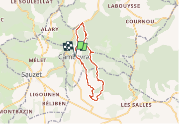

11.6 km | 17.4 km-effort


User


FREE GPS app for hiking
 SityTrail
IGN / Geographical institutes
SityTrail World
The world is yours!
Trail Walking of 13.1 km to be discovered at Occitania, Lot, Cambayrac. This trail is proposed by BernardEsteban.
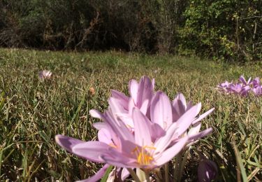
tres beau
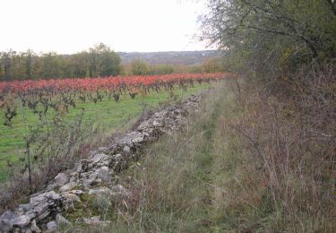
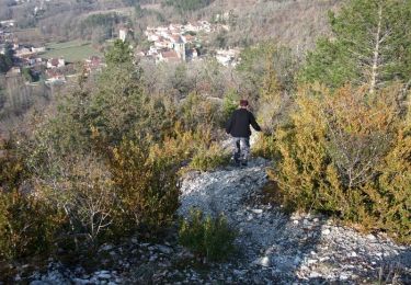
un grande partie est a l ombre
un peu d histoire de la region aussi

Walking

Walking
Mountain bike

Walking

Mountain bike

Walking
Walking