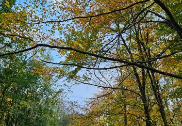
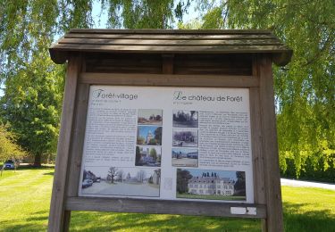
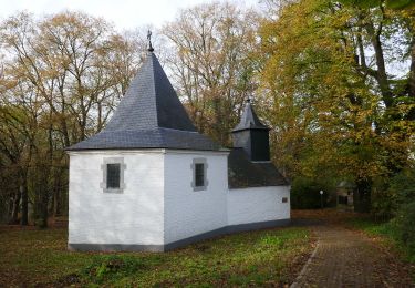
Trail Walking Chaudfontaine - A la découverte des Thermes et Coteaux: La Chapelle St Anne - Photo

A la découverte des Thermes et Coteaux: La Chapelle St Anne

Hiking inspiration PRO

© OpenStreetMap contributors
Length
Length
7.2 km
Max alt
Max alt
227 m
Uphill gradient
Uphill gradient
237 m
Km-Effort
Km-Effort  
10.4 km
Min alt
Min alt
69 m
Downhill gradient
Downhill gradient
239 m
Boucle
Boucle
Yes
Creation date :
2020-07-09 21:33:32.471
Updated on :
2020-07-10 12:49:36.973

(1 Reviews)

Walking
Walking
2h12
Difficulty : Medium

Scan this QR Code to open this trail in the SityTrail application

FREE GPS app for hiking

Logo SityTrail SityTrail

IGN / Geographical institutes

Download SityTrail from the App Store Download SityTrail from Google Play

Logo SityTrail SityTrail World

The world is yours!

Download SityTrail from the App Store Download SityTrail from Google Play Download SityTrail on Huawei AppGallery

About

Trail Walking of 7.2 km to be discovered at Wallonia, Liège, Chaudfontaine. This trail is proposed by Rando bière.

Description

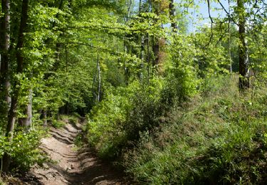
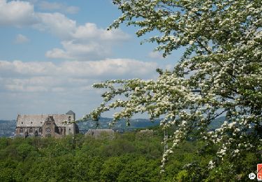
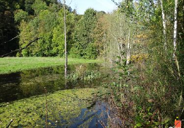
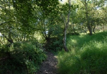
Cette promenade relie deux sommets, la ferme de Sainte-Anne qui se voit de très loin en Ardenne liégeoise et la Basilique de Chèvremont. Autant dire que les panoramas offerts sont remarquables. La région parcourue se situe aux marges du Pays de Herve. Elle le rappelle par ses paysages vallonnés, ses bocages et ses vergers et son caractère demeuré agreste. Les aspects paysagers de la commune sont aussi abordés. Suivre les balises rectangle vert sur fond blanc.

Elevation profile

Photos

Points of interest

Point of interest Chaudfontaine - Départ du Parc communal de Vaux-sous-Chèvremont - Photo
blindbe
Point of interest Chaudfontaine - Longez la Vesdre - Photo
blindbe
CHAUDFONTAINE 
Point of interest Chaudfontaine - Rue du Cherra - Photo
blindbe
CHAUDFONTAINE 
Point of interest Chaudfontaine - Rue du Chalet - Photo
blindbe
CHAUDFONTAINE 
Point of interest Chaudfontaine - Vers le Chemin Vert - Photo
blindbe
CHAUDFONTAINE 
Point of interest Chaudfontaine - Chemin de la Croix Noire - Photo
blindbe
Point of interest Chaudfontaine - La montée du Chaud Thier - Photo
blindbe
Point of interest Beyne-Heusay - Le Bois de Beyne - Photo
blindbe
BEYNE-HEUSAY 
Point of interest Fléron - Vers la Haie des Loups - Photo
blindbe
Point of interest Chaudfontaine - Traversée de la Nationale - Photo
blindbe
Point of interest Chaudfontaine - Vers Chèvremont - Photo
blindbe
CHAUDFONTAINE 
Point of interest Chaudfontaine - La Basilique et la chapelle Notre-Dame de Chèvremont - Photo
blindbe
Point of interest Chaudfontaine - Thier de la Chapelle - Photo
blindbe
CHAUDFONTAINE 
Point of interest Chaudfontaine - Retour au point de départ. - Photo
blindbe

Positioning

Country:
Belgium
Region :
Wallonia
Department/Province :
Liège
Municipality :
Chaudfontaine
Location:
Vaux-sous-Chèvremont
Start:(UTM)
686322 ; 5608840 (31U) N.

Comments

Please log in to post a review or rate the element


Trails nearby

Trail Walking Chaudfontaine - RB-Lg-21_Chaudfontaine_via-racc-1-et-2 - Photo
Walking
PRO

Walking

Difficult
(9)
Chaudfontaine, Wallonia, Liège, Belgium
11.6 km | 16.5 km-effort
3h 45min
Yes
Trail Walking Chaudfontaine - RB-Lg-21_Chaudfontaine - Photo
Walking
PRO

Walking

(14)
Chaudfontaine, Wallonia, Liège, Belgium
18 km | 26 km-effort
5h 56min
Yes
Trail Walking Esneux - RB-Lg-20_Tilff - Photo
Walking
PRO

Walking

Very difficult
(7)
Esneux, Wallonia, Liège, Belgium
20 km | 28 km-effort
6h 21min
Yes
Trail Walking Chaudfontaine - Chaudfontaine, Natura 2000 - Des sites qui valent le détour, Lg7 - Photo
Walking
GUIDE+

Walking

Difficult
(14)
Chaudfontaine, Wallonia, Liège, Belgium
5.3 km | 8.7 km-effort
1h 48min
Yes
Trail Walking Liège - Nuit du scoutisme -  Liège - Photo
Walking
PRO

Walking

Easy
(12)
Liège, Wallonia, Liège, Belgium
4.2 km | 6 km-effort
1h 19min
Yes
Trail Walking Fléron - 2024-06-16_18h18m53_1402.gpx.xml - Photo
Walking
GUIDE
mumu.larandonneuse

Walking

Medium
(1)
Fléron, Wallonia, Liège, Belgium
9.8 km | 12.3 km-effort
2h 47min
Yes
Trail Walking Esneux - 2023-11-10_18h47m33_1728.gpx.xml - Photo
Walking
GUIDE
mumu.larandonneuse

Walking

Medium
(2)
Esneux, Wallonia, Liège, Belgium
9.8 km | 13.5 km-effort
3h 4min
Yes
Trail Walking Trooz - 2021-05-16_08h02m48_1403 - Photo
Walking
GUIDE
mumu.larandonneuse

Walking

Difficult
(1)
Trooz, Wallonia, Liège, Belgium
10.1 km | 14.6 km-effort
3h 19min
Yes
Trail Walking Liège - GG-Lg-10_Angleur - Nessonvaux - Photo
Walking
PRO

Walking

Very difficult
(2)
Liège, Wallonia, Liège, Belgium
22 km | 32 km-effort
6h 27min
No


Close
My subscriptions