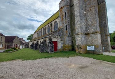
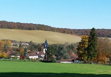
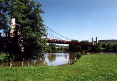
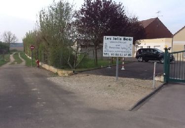
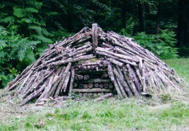
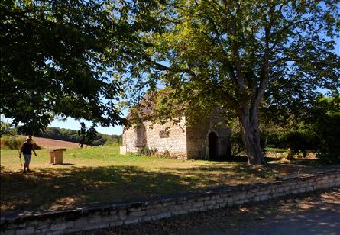
Trail On foot Bellechaume - Bellechaume - Photo
© OpenStreetMap contributors
Length
Length
15.6 km
Max alt
Max alt
301 m
Uphill gradient
Uphill gradient
441 m
Km-Effort
Km-Effort  
21 km
Min alt
Min alt
163 m
Downhill gradient
Downhill gradient
435 m
Boucle
Boucle
Yes
Creation date :
2020-07-09 14:15:46.676
Updated on :
2020-07-09 14:17:35.593

(0 Reviews)

On foot
On foot
--
Difficulty : Medium

Scan this QR Code to open this trail in the SityTrail application

FREE GPS app for hiking

Logo SityTrail SityTrail

IGN / Geographical institutes

Download SityTrail from the App Store Download SityTrail from Google Play

Logo SityTrail SityTrail World

The world is yours!

Download SityTrail from the App Store Download SityTrail from Google Play Download SityTrail on Huawei AppGallery

About

Trail On foot of 15.6 km to be discovered at Bourgogne-Franche-Comté, Yonne, Bellechaume. This trail is proposed by Jean CORBERON.

Description

Bellechaume (bon dénivelé)

Elevation profile

Positioning

Country:
France
Region :
Bourgogne-Franche-Comté
Department/Province :
Yonne
Municipality :
Bellechaume
Location:
Unknown
Start:(UTM)
545297 ; 5321424 (31U) N.

Trails nearby

Trail Walking Dixmont - Dixmont 230729  - Photo
Walking
GUIDE
Specialized77

Walking

Difficult
(2)
Dixmont, Bourgogne-Franche-Comté, Yonne, France
10.4 km | 12.6 km-effort
2h 51min
Yes
Trail Walking Malay-le-Grand - polissoir - Photo
Walking
manolenso

Walking

Very easy
(1)
Malay-le-Grand, Bourgogne-Franche-Comté, Yonne, France
12.1 km | 16.4 km-effort
2h 41min
Yes
Trail Walking Chennegy - Le chemin du patrimoine du Valdreux - Photo
Walking
gildascb

Walking

Very easy
(1)
Chennegy, Grand Est, Aube, France
8.6 km | 10.5 km-effort
1h 57min
Yes
Trail Mountain bike Cézy - Rando VTT de Cézy - Photo
Mountain bike
tracegps

Mountain bike

Difficult
(1)
Cézy, Bourgogne-Franche-Comté, Yonne, France
41 km | 49 km-effort
2h 30min
Yes
Trail Walking Appoigny - Appoigny balade matinale - Photo
Walking
Arnoldr8491

Walking

Easy
(1)
Appoigny, Bourgogne-Franche-Comté, Yonne, France
3.5 km | 4.2 km-effort
1h 6min
Yes
Trail Walking Coursan-en-Othe - Circuit du Coursannais - Coursan-en-Othe - Photo
Walking
tracegps

Walking

Medium
(1)
Coursan-en-Othe, Grand Est, Aube, France
12 km | 14 km-effort
3h 0min
Yes
Trail Walking Bérulle - Sentier du Fer - Bérulle - Photo
Walking
tracegps

Walking

Easy
(1)
Bérulle, Grand Est, Aube, France
5.8 km | 7.9 km-effort
1h 30min
Yes
Trail Walking Saint-Mards-en-Othe - De place en place - Saint Mards en Othe - Photo
Walking
tracegps

Walking

Difficult
(1)
Saint-Mards-en-Othe, Grand Est, Aube, France
16.1 km | 19.8 km-effort
4h 0min
Yes
Trail Walking Venizy - Forêt de Venizy (Forêt) - Photo
Walking
Daneel-89

Walking

Medium
(1)
Venizy, Bourgogne-Franche-Comté, Yonne, France
17 km | 20 km-effort
4h 30min
Yes


Close
My subscriptions