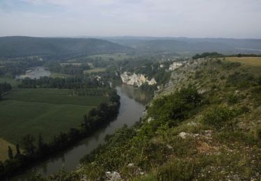
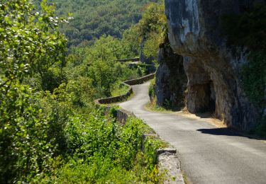
4.5 km | 6.6 km-effort
Souillac m’auras
francois.ruck
User
Length
28 km
Max alt
294 m
Uphill gradient
422 m
Km-Effort
34 km
Min alt
96 m
Downhill gradient
424 m
Boucle
Yes
Creation date :
2020-07-09 05:24:16.0
Updated on :
2020-07-09 06:56:42.923
1h31
Difficulty : Difficult
FREE GPS app for hiking
About
Trail Road bike of 28 km to be discovered at Occitania, Lot, Souillac. This trail is proposed by francois.ruck.
Positioning
Country:
France
Region :
Occitania
Department/Province :
Lot
Municipality :
Souillac
Location:
Unknown
Start:(Dec)
Start:(UTM)
379125 ; 4972851 (31T) N.
Comments
Trails nearby
souillac bord de la dordogne
Walking
Very easy
(2)
Souillac,
Occitania,
Lot,
France
7.9 km | 9.8 km-effort
2h 13min
Yes
Transsouillagaise 2013 - Souillac
Mountain bike
Very difficult
Souillac,
Occitania,
Lot,
France
39 km | 51 km-effort
3h 30min
Yes
Souillac_Pipou
Walking
Medium
(2)
Souillac,
Occitania,
Lot,
France
13.5 km | 18.1 km-effort
4h 15min
Yes
Souillac_Viaduc
Walking
Medium
Souillac,
Occitania,
Lot,
France
12.6 km | 16.3 km-effort
3h 45min
Yes
VALLÉE DE LA DORDOGNE- EST DEPUIS CALVIAC EN PÉRIGORD
Road bike
Difficult
Cazoulès,
New Aquitaine,
Dordogne,
France
73 km | 91 km-effort
6h 55min
No
Souillac-St Cirq-Vallée du Célé-St Céré-Carennac-Turenne
Motorbike
Easy
Souillac,
Occitania,
Lot,
France
224 km | 273 km-effort
5h 0min
No
rouffillac - souillac sud part 2
Walking
Very easy
Lanzac,
Occitania,
Lot,
France
4.8 km | 5.5 km-effort
1h 3min
No
hauts de Cazoules
Walking
Medium
Cazoulès,
New Aquitaine,
Dordogne,
France
17.4 km | 24 km-effort
9h 14min
Yes