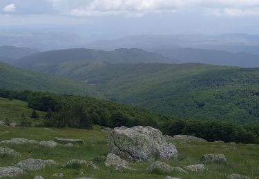
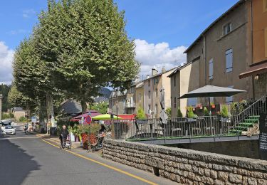
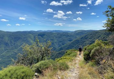
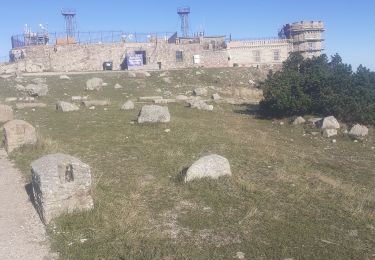
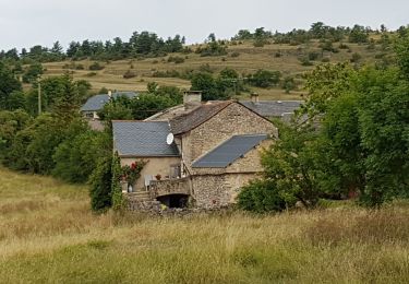
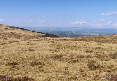
58 km | 74 km-effort
MEYRUEIS
issartelserge
User
Length
20 km
Max alt
972 m
Uphill gradient
547 m
Km-Effort
28 km
Min alt
700 m
Downhill gradient
548 m
Boucle
Yes
Creation date :
2020-07-04 07:34:48.055
Updated on :
2021-03-14 06:56:14.845
6h36
Difficulty : Very easy
FREE GPS app for hiking
About
Trail Walking of 20 km to be discovered at Occitania, Lozère, Meyrueis. This trail is proposed by issartelserge.
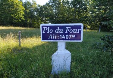
Positioning
Country:
France
Region :
Occitania
Department/Province :
Lozère
Municipality :
Meyrueis
Location:
Unknown
Start:(Dec)
Start:(UTM)
534518 ; 4891914 (31T) N.
Comments
Trails nearby
Meyrues à observatoire Mont Aigoual
Walking
Difficult
Meyrueis,
Occitania,
Lozère,
France
21 km | 0 m-effort
5h 58min
No
Sentier du Château de Roquedols
On foot
Easy
Meyrueis,
Occitania,
Lozère,
France
5 km | 6.9 km-effort
1h 33min
Yes
Meyruis L’Esperou 26 km - Tour du mont Aigual étape 3
Walking
Difficult
Meyrueis,
Occitania,
Lozère,
France
28 km | 41 km-effort
9h 0min
No
cause noir mai 2020
Mountain bike
Easy
(1)
Meyrueis,
Occitania,
Lozère,
France
36 km | 44 km-effort
4h 37min
Yes
meyrues l'esperouvia le mont aigoual
Walking
Difficult
Meyrueis,
Occitania,
Lozère,
France
31 km | 46 km-effort
8h 54min
No
Meyruies - Gorges de la Jonte - Grotte de Dagilan
Walking
Medium
Meyrueis,
Occitania,
Lozère,
France
15.2 km | 21 km-effort
4h 25min
Yes
Tour du Causse Méjean - Etape5
Walking
Difficult
Meyrueis,
Occitania,
Lozère,
France
27 km | 40 km-effort
8h 51min
No