


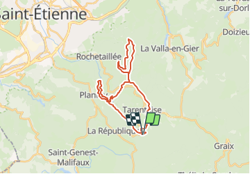

17.9 km | 26 km-effort


User


FREE GPS app for hiking
 SityTrail
IGN / Geographical institutes
SityTrail World
The world is yours!
Trail Horseback riding of 28 km to be discovered at Auvergne-Rhône-Alpes, Loire, Tarentaise. This trail is proposed by quetschouille.
Départ parking pont Sauvignet
Rando des barrages du pat du riot et du gouffre d'enfer boucle Salvaris
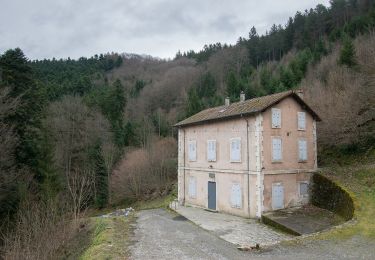
Restaurant à Salvaris
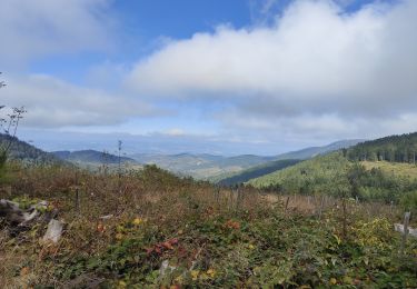
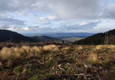
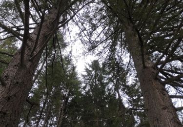
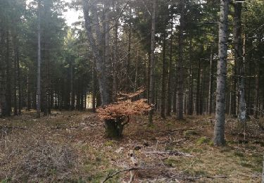
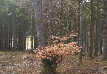
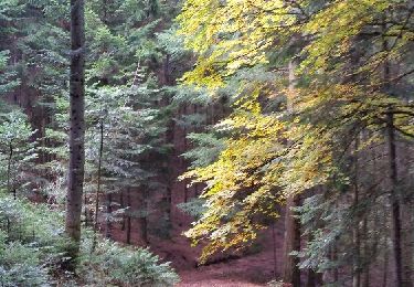
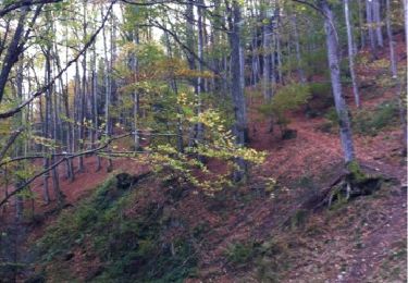
Magnifiques vues
Walking
On foot
Walking
Walking
Walking
Walking
Walking
Walking
Walking