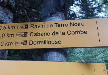
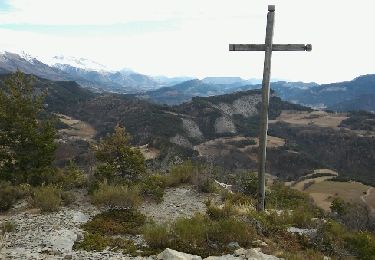
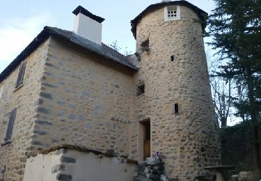
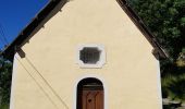
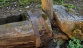
Trail Walking Ubaye-Serre-Ponçon - 04 - pres col St Jean - Canal de la Pisse. Pre Balou, rocher du Joug, fontaine du Loup - Photo

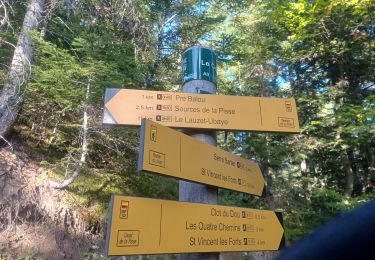
04 - pres col St Jean - Canal de la Pisse. Pre Balou, rocher du Joug, fontaine du Loup

© OpenStreetMap contributors
Length
Length
15.2 km
Max alt
Max alt
1741 m
Uphill gradient
Uphill gradient
597 m
Km-Effort
Km-Effort  
23 km
Min alt
Min alt
1284 m
Downhill gradient
Downhill gradient
597 m
Boucle
Boucle
Yes
Creation date :
2020-07-06 07:23:17.46
Updated on :
2020-07-06 16:17:38.599

(0 Reviews)

Walking
Walking
6h00
Difficulty : Medium

Scan this QR Code to open this trail in the SityTrail application

FREE GPS app for hiking

Logo SityTrail SityTrail
IGN / Geographical institutes

Download SityTrail from the App Store Download SityTrail from Google Play

Logo SityTrail SityTrail World
The world is yours!

Download SityTrail from the App Store Download SityTrail from Google Play Download SityTrail on Huawei AppGallery

About

Trail Walking of 15.2 km to be discovered at Provence-Alpes-Côte d'Azur, Alpes-de-Haute-Provence, Ubaye-Serre-Ponçon. This trail is proposed by chris13370.

Description

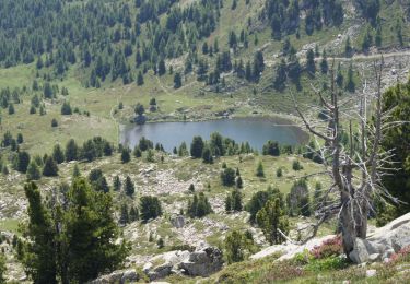
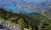
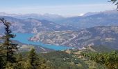
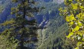
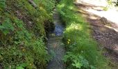
Très beau parcours le long du canal de la Pisse. Superbe vue sur la Cascade et panorama sur le lac de Serre poncon.
Montée un peu raide jusqu'au Pre Balout mais tjs à l ombre (appréciable début juillet).
Possibilité de raccourcir le circuit en partant de St Vincent du fort.

Elevation profile

Photos

Positioning

Country:
France
Region :
Provence-Alpes-Côte d'Azur
Department/Province :
Alpes-de-Haute-Provence
Municipality :
Ubaye-Serre-Ponçon
Location:
Unknown
Start:(UTM)
289341 ; 4921869 (32T) N.

Trails nearby

Trail Walking Ubaye-Serre-Ponçon - MONTCLAR , les Rollands  , canal de la Pisse , Pre Balou , fontaine du loup , fontaine de l mane o l m s - Photo
Walking
RobinMicheline

Walking

Medium
(1)
Ubaye-Serre-Ponçon, Provence-Alpes-Côte d'Azur, Alpes-de-Haute-Provence, France
15.6 km | 23 km-effort
4h 22min
Yes
Trail Walking Ubaye-Serre-Ponçon - le clôt de la cime. - Photo
Walking
GILOU440

Walking

Easy
(1)
Ubaye-Serre-Ponçon, Provence-Alpes-Côte d'Azur, Alpes-de-Haute-Provence, France
12.5 km | 19.8 km-effort
4h 0min
Yes
Trail Walking Ubaye-Serre-Ponçon - Circuit de l'Escoubaye 25 -12- 2014 - Photo
Walking
Dervalmarc

Walking

Easy
(1)
Ubaye-Serre-Ponçon, Provence-Alpes-Côte d'Azur, Alpes-de-Haute-Provence, France
6.9 km | 10.1 km-effort
2h 32min
Yes
Trail Walking Seyne - Dormillouse, lac noir et tourbières - Photo
Walking
mc3c

Walking

Medium
(1)
Seyne, Provence-Alpes-Côte d'Azur, Alpes-de-Haute-Provence, France
12.7 km | 21 km-effort
4h 33min
Yes
Trail Walking Seyne - Dormillouse lac noir lac du milieu lac de la cabane  - Photo
Walking
GUIDE
David25400

Walking

Easy
Seyne, Provence-Alpes-Côte d'Azur, Alpes-de-Haute-Provence, France
14.3 km | 25 km-effort
3h 26min
Yes
Trail Walking Seyne - Dormillouse en boucle par le lac du Milieu - Photo
Walking
GUIDE
David25400

Walking

Easy
Seyne, Provence-Alpes-Côte d'Azur, Alpes-de-Haute-Provence, France
13.1 km | 23 km-effort
4h 33min
Yes
Trail Walking Montclar - SAINT JEAN MONTCLAR Le tour des chapelles par les chemins d autrefois  o   - Photo
Walking
RobinMicheline

Walking

Medium
(1)
Montclar, Provence-Alpes-Côte d'Azur, Alpes-de-Haute-Provence, France
14.5 km | 22 km-effort
4h 57min
Yes
Trail Walking Ubaye-Serre-Ponçon - L'Escoubaye - Photo
Walking
FERAUD

Walking

Medium
(1)
Ubaye-Serre-Ponçon, Provence-Alpes-Côte d'Azur, Alpes-de-Haute-Provence, France
6 km | 9 km-effort
1h 22min
Yes
Trail Walking Ubaye-Serre-Ponçon - L'Escoubaye - Photo
Walking
saintherant

Walking

Easy
(1)
Ubaye-Serre-Ponçon, Provence-Alpes-Côte d'Azur, Alpes-de-Haute-Provence, France
4.5 km | 7.4 km-effort
2h 0min
Yes


Close
My subscriptions