


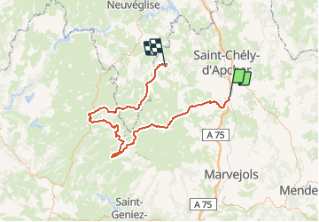

27 km | 34 km-effort


User


FREE GPS app for hiking
 SityTrail
IGN / Geographical institutes
SityTrail World
The world is yours!
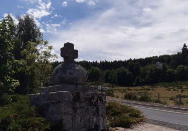
Trail Walking of 100 km to be discovered at Occitania, Lozère, Peyre en Aubrac. This trail is proposed by gilsep.
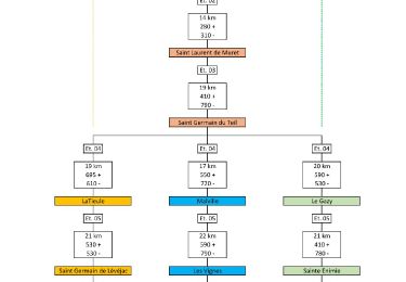
Jour 1 : Aumont-Aubrac -> Montgros
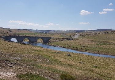
Jour 2 : Montgros -> St Chély d'Aubrac
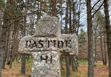
Jour 3 : St-Chély -> Laguiole
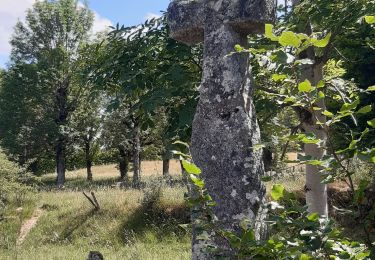
Jour 4 : Laguiole -> St-Urcize
Jour 5 : en voiture jusqu'à Fournels puis Aumont Aubrac. Passage par les thermes de la Chaldette
Walking

Walking
Walking

Walking

Walking
Walking
Walking
Walking