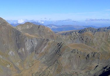
3.9 km | 7.5 km-effort
Étant de la Peyre vers Pla de las Peyres
Benoit Champin
User
Length
5.7 km
Max alt
2422 m
Uphill gradient
199 m
Km-Effort
10.3 km
Min alt
1695 m
Downhill gradient
783 m
Boucle
No
Creation date :
2020-07-05 10:01:36.0
Updated on :
2020-07-05 17:58:34.17
3h49
Difficulty : Difficult
FREE GPS app for hiking
About
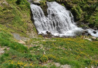
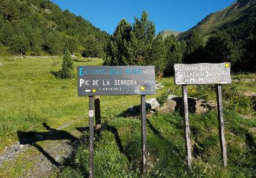
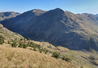
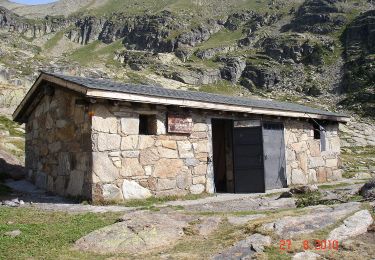
Trail Walking of 5.7 km to be discovered at Occitania, Ariège, Aston. This trail is proposed by Benoit Champin.
Positioning
Country:
France
Region :
Occitania
Department/Province :
Ariège
Municipality :
Aston
Location:
Unknown
Start:(Dec)
Start:(UTM)
390935 ; 4722887 (31T) N.
Comments
Trails nearby
Etangs de Mirabail et La Peyre
Walking
Medium
(2)
Aston,
Occitania,
Ariège,
France
14.5 km | 29 km-effort
8h 0min
Yes
Etangs de Fontargenta
Walking
Medium
(1)
Aston,
Occitania,
Ariège,
France
10.9 km | 19.4 km-effort
Unknown
Yes
Andorre Ransol-Pic de SERRERA 12 juil. 2017
Walking
Difficult
,
,
,
Andorra
9.3 km | 22 km-effort
4h 55min
Yes