


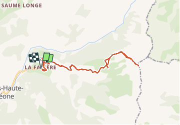

19.5 km | 44 km-effort


User


FREE GPS app for hiking
 SityTrail
IGN / Geographical institutes
SityTrail World
The world is yours!
Trail Walking of 19.5 km to be discovered at Provence-Alpes-Côte d'Azur, Alpes-de-Haute-Provence, Prads-Haute-Bléone. This trail is proposed by Escondido.
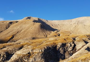
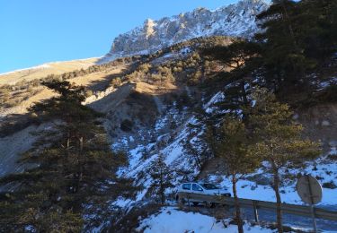
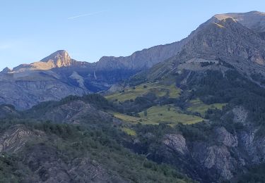
sommet du Caduc au départ de la Favière en passant pas la cabane de Chanabaja.
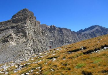
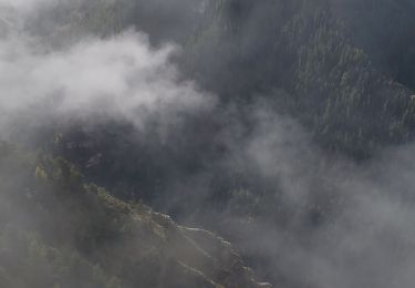
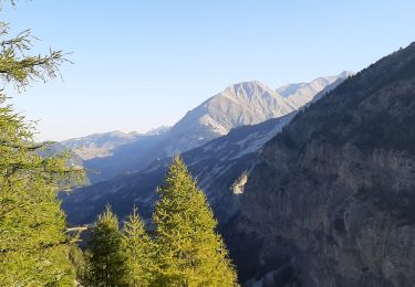
Pas de photos, le mieux, c'est d'y aller (rando très peu connue mais qui vaut vraiment le détour !)
Walking
Walking
Walking
Walking

Trail

Walking
Walking

Walking
Walking