


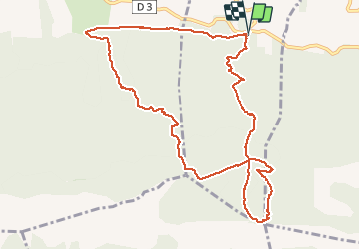

25 km | 37 km-effort


User


FREE GPS app for hiking
 SityTrail
IGN / Geographical institutes
SityTrail World
The world is yours!
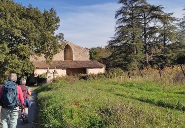
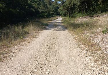
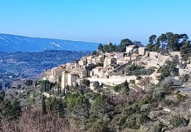
Trail Walking of 11.9 km to be discovered at Provence-Alpes-Côte d'Azur, Vaucluse, Lacoste. This trail is proposed by jacquespaoli13.
Walking
Walking

Walking

On foot
Walking
Walking
Walking
Walking
Walking
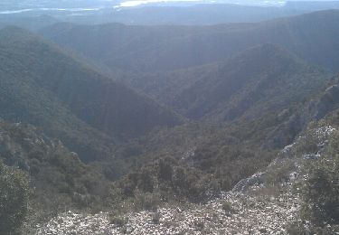
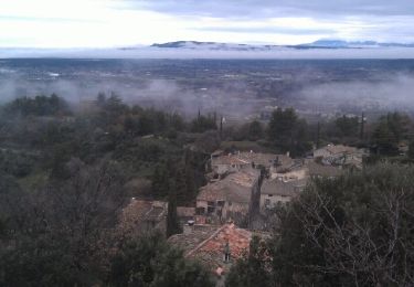
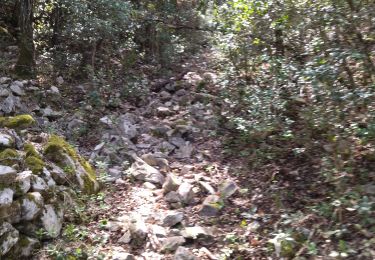
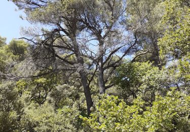
Belle randonnée quu débute par une longue pente douce. La forêt des Cèdres est magnifique! La descente est douce mais il y a tellement de cailloux que les genoux fragiles sont mis à l'épreuve. Si on ne fait pas la boucle vers le Portalas fait +/- 2,5 km.