

le crêt de chalam depuis le poteau de chalam

margotte
User

Length
9.3 km

Max alt
1524 m

Uphill gradient
426 m

Km-Effort
15 km

Min alt
1146 m

Downhill gradient
435 m
Boucle
Yes
Creation date :
2020-07-05 08:40:03.297
Updated on :
2020-07-08 20:04:39.125
2h03
Difficulty : Medium

FREE GPS app for hiking
About
Trail Walking of 9.3 km to be discovered at Auvergne-Rhône-Alpes, Ain, Champfromier. This trail is proposed by margotte.
Description
Pratiquement toute la rando en sous bois. Les marches pour accéder au sommet sont plutôt casse pattes!! Beau point de vue sur Jura et Alpes...mt blanc.
Positioning
Country:
France
Region :
Auvergne-Rhône-Alpes
Department/Province :
Ain
Municipality :
Champfromier
Location:
Unknown
Start:(Dec)
Start:(UTM)
717950 ; 5124370 (31T) N.
Comments
Trails nearby

belleydoux roches d'orvaz


Walking
Difficult
(1)
Belleydoux,
Auvergne-Rhône-Alpes,
Ain,
France

10.6 km | 16.9 km-effort
3h 18min
Yes
1/2 rando raquettes Pesse-retour


Snowshoes
Difficult
La Pesse,
Bourgogne-Franche-Comté,
Jura,
France

4.6 km | 6.4 km-effort
1h 25min
No
Chezery Crêt Chalam (IBP 95) 7 mai 2021 CAF


Walking
Difficult
Chézery-Forens,
Auvergne-Rhône-Alpes,
Ain,
France

17 km | 30 km-effort
5h 47min
Yes
Chézery Chalam La Pesse


Walking
Difficult
Chézery-Forens,
Auvergne-Rhône-Alpes,
Ain,
France

18.6 km | 33 km-effort
7h 2min
No
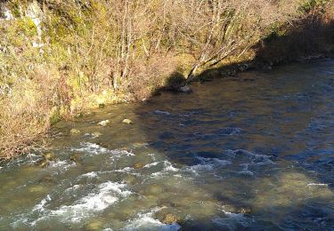
Au fil de la Valserine


Walking
Medium
Chézery-Forens,
Auvergne-Rhône-Alpes,
Ain,
France

11.2 km | 16.6 km-effort
2h 59min
Yes
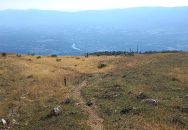
GTJ 10 Chėzery-Forens/ Vanchy


Walking
Very difficult
Chézery-Forens,
Auvergne-Rhône-Alpes,
Ain,
France

26 km | 44 km-effort
9h 14min
No
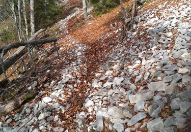
Champfromier les avalanches


Walking
Medium
Champfromier,
Auvergne-Rhône-Alpes,
Ain,
France

13.5 km | 22 km-effort
3h 26min
Yes
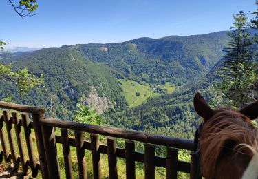
202205 rallye Ain J2 Giron-Lelex


Horseback riding
Medium
Giron,
Auvergne-Rhône-Alpes,
Ain,
France

21 km | 29 km-effort
4h 0min
No


 SityTrail


