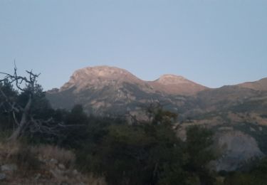
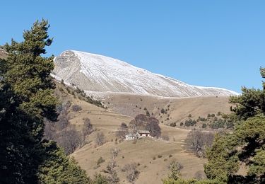
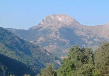
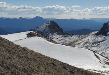
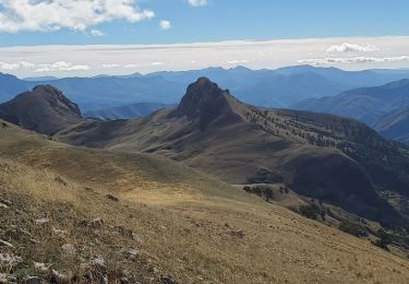
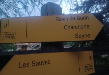
11.1 km | 21 km-effort
Le Blayeul
BrunoPetignat
User
Length
11.2 km
Max alt
2179 m
Uphill gradient
1265 m
Km-Effort
28 km
Min alt
1081 m
Downhill gradient
1265 m
Boucle
Yes
Creation date :
2014-12-10 00:00:00.0
Updated on :
2014-12-10 00:00:00.0
4h17
Difficulty : Medium
FREE GPS app for hiking
About
Trail Snowshoes of 11.2 km to be discovered at Provence-Alpes-Côte d'Azur, Alpes-de-Haute-Provence, Auzet. This trail is proposed by BrunoPetignat.
Description
Ski de rando Déniv. 1400
Positioning
Country:
France
Region :
Provence-Alpes-Côte d'Azur
Department/Province :
Alpes-de-Haute-Provence
Municipality :
Auzet
Location:
Unknown
Start:(Dec)
Start:(UTM)
284971 ; 4905751 (32T) N.
Comments
Trails nearby
Cloches de Barles
Walking
Very easy
(2)
Barles,
Provence-Alpes-Côte d'Azur,
Alpes-de-Haute-Provence,
France
2h 21min
Yes
Grande Cloche de Barles
Walking
Easy
(1)
Barles,
Provence-Alpes-Côte d'Azur,
Alpes-de-Haute-Provence,
France
11.2 km | 20 km-effort
3h 58min
Yes
Chine 14kms 875m
Walking
Medium
Barles,
Provence-Alpes-Côte d'Azur,
Alpes-de-Haute-Provence,
France
13.1 km | 24 km-effort
7h 23min
Yes
Chine forest
Walking
Medium
Barles,
Provence-Alpes-Côte d'Azur,
Alpes-de-Haute-Provence,
France
15.4 km | 27 km-effort
6h 7min
Yes
2023-04-07 Le Forest - Cloche de Barles
Walking
Difficult
Barles,
Provence-Alpes-Côte d'Azur,
Alpes-de-Haute-Provence,
France
10.6 km | 19 km-effort
4h 19min
Yes
BARLES Le Barri AR départ le Bas Moulin o l s
Walking
Medium
Barles,
Provence-Alpes-Côte d'Azur,
Alpes-de-Haute-Provence,
France
12 km | 21 km-effort
3h 49min
Yes
BARLES Vaux , col de Clapouse , la Laupie. boucle o
Walking
Very difficult
Barles,
Provence-Alpes-Côte d'Azur,
Alpes-de-Haute-Provence,
France
11.7 km | 24 km-effort
4h 38min
Yes
Clue de Barles
Walking
Easy
Barles,
Provence-Alpes-Côte d'Azur,
Alpes-de-Haute-Provence,
France
12.5 km | 19.5 km-effort
6h 6min
No
20190430_Sommet du Blayeul Via Verdaches
Walking
Difficult
Verdaches,
Provence-Alpes-Côte d'Azur,
Alpes-de-Haute-Provence,
France
13.4 km | 28 km-effort
6h 11min
Yes