


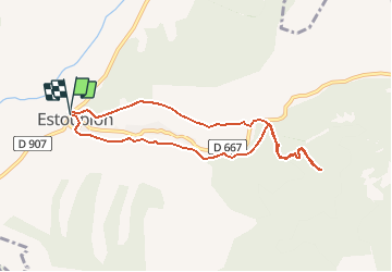

8.9 km | 14.1 km-effort


User


FREE GPS app for hiking
 SityTrail
IGN / Geographical institutes
SityTrail World
The world is yours!
Trail On foot of 8.4 km to be discovered at Provence-Alpes-Côte d'Azur, Alpes-de-Haute-Provence, Estoublon. This trail is proposed by PITOUSSAINT.
d'Estoublon vers l'amphithéâtre, jardin des papillons et refuge de Trévans
Départ parking village puis montée dans les calades, tour de l'horloge.
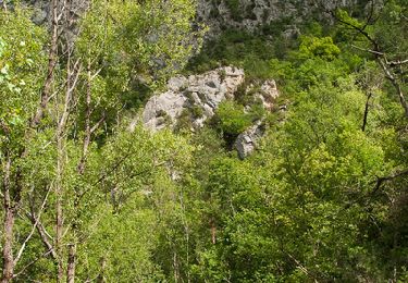
Walking

Walking

Walking

Walking

Walking

Walking
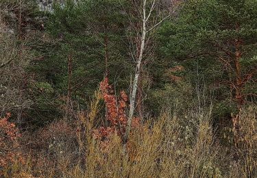
Walking
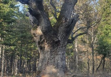
Walking
Walking