![](/images/other/stat-length.png)
![Trail Electric bike Annot - Annot - Peresq - Photo](https://media.geolcdn.com/t/1900/400/f9d6f0d3-2fb5-435d-b41a-baaa9e1dae8a.jpg&format=pjpeg&maxdim=2)
Annot - Peresq
lviallet
User
![Length](/images/other/stat-length.png)
![Max alt](https://static1.geolcdn.com/siteimages/upload/files/1508320355ic_sort_altitude_max_24dp.png)
![Uphill gradient](https://static1.geolcdn.com/siteimages/upload/files/1508320355ic_sort_den_pos_24dp.png)
![Km-Effort](/images/other/stat-length.png)
![Min alt](https://static1.geolcdn.com/siteimages/upload/files/1508320355ic_sort_altitude_min_24dp.png)
![Downhill gradient](https://static1.geolcdn.com/siteimages/upload/files/1508320355ic_sort_den_neg_24dp.png)
![Boucle](https://static1.geolcdn.com/siteimages/upload/files/16400158638029165_repeat_loop_refresh_sync_direction_icon.png)
![Electric bike](https://static1.geolcdn.com/sitytour/trail-icons/205.png)
2h19
Difficulty : Medium
![Scan this QR Code to open this trail in the SityTrail application](https://capi.geolives.com/qq0zvz2zws4bq2lad0pu/sitytour/trails/2457341/qr.png?size=200)
FREE GPS app for hiking
About
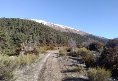
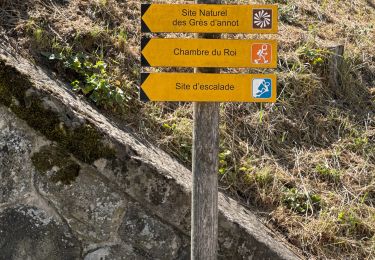
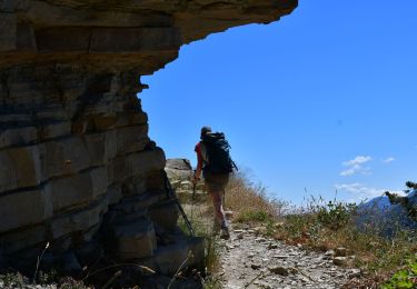
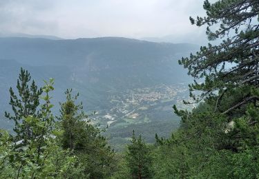
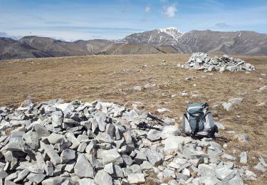
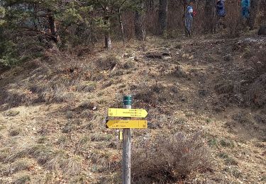
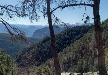
Trail Electric bike of 38 km to be discovered at Provence-Alpes-Côte d'Azur, Alpes-de-Haute-Provence, Annot. This trail is proposed by lviallet.
Description
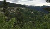
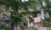
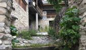
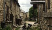
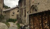
Peresq a 2 habitants qui y vivent toute l'année. Les membres d'une association belge ont achetés et rénovés un grand nombre de ces maisons.
La poste distribue le courrier deux fois par semaines, été comme hiver.
En été, beaucoup de Belges viennent y vivre.
Ce village est un véritable bijoux!
Positioning
Comments
Trails nearby
![Trail On foot Annot - Le Grès d'Annot - Photo](https://media.geolcdn.com/t/375/260/d494c9f4-04f5-4184-be97-f5fea23e1191.jpeg&format=jpg&maxdim=2)
![On foot On foot](https://static1.geolcdn.com/sitytour/trail-icons/100.png)
On foot
![](/images/other/stat-length.png)
![](https://static1.geolcdn.com/siteimages/upload/files/16400158638029165_repeat_loop_refresh_sync_direction_icon.png)
![Trail Touring skiing Castellet-lès-Sausses - mourre Frey te tête de travers - Photo](https://media.geolcdn.com/t/375/260/1b767a21-1868-437d-b876-59d00a73f0ab.jpg&format=jpg&maxdim=2)
![Touring skiing Touring skiing](https://static1.geolcdn.com/sitytour/trail-icons/503.png)
Touring skiing
![](/images/other/stat-length.png)
![](https://static1.geolcdn.com/siteimages/upload/files/16400158638029165_repeat_loop_refresh_sync_direction_icon.png)
![Trail Walking Annot - J4 Annot - Photo](https://media.geolcdn.com/t/375/260/be9d9d12-b8a6-45a8-bd70-6f8cacf32730.jpg&format=jpg&maxdim=2)
![Walking Walking](https://static1.geolcdn.com/sitytour/trail-icons/101.png)
Walking
![](/images/other/stat-length.png)
![](https://static1.geolcdn.com/siteimages/upload/files/16400158638029165_repeat_loop_refresh_sync_direction_icon.png)
![Walking Walking](https://static1.geolcdn.com/sitytour/trail-icons/101.png)
Walking
![](/images/other/stat-length.png)
![](https://static1.geolcdn.com/siteimages/upload/files/16400158638029165_repeat_loop_refresh_sync_direction_icon.png)
![Trail Walking Annot - Rando gastro Roncharel - Photo](https://media.geolcdn.com/t/375/260/4e3f8487-9887-4ec3-94b2-d5bbd50aefe8.jpg&format=jpg&maxdim=2)
![Walking Walking](https://static1.geolcdn.com/sitytour/trail-icons/101.png)
Walking
![](/images/other/stat-length.png)
![](https://static1.geolcdn.com/siteimages/upload/files/16400158638029165_repeat_loop_refresh_sync_direction_icon.png)
![Trail Walking Annot - Les grès d'Annot - Photo](https://media.geolcdn.com/t/375/260/ext.jpg?maxdim=2&url=https%3A%2F%2Fstatic1.geolcdn.com%2Fsiteimages%2Fupload%2Ffiles%2F1553511878bg_sport_marche.png)
![Walking Walking](https://static1.geolcdn.com/sitytour/trail-icons/101.png)
Walking
![](/images/other/stat-length.png)
![](https://static1.geolcdn.com/siteimages/upload/files/16400158638029165_repeat_loop_refresh_sync_direction_icon.png)
![Trail Walking Castellet-lès-Sausses - Tête de travers et Mourre Frey, du Col du Fam - Photo](https://media.geolcdn.com/t/375/260/a4176451-cb19-4ec9-86ca-b1e3e647aa87.jpg&format=jpg&maxdim=2)
![Walking Walking](https://static1.geolcdn.com/sitytour/trail-icons/101.png)
Walking
![](/images/other/stat-length.png)
![](https://static1.geolcdn.com/siteimages/upload/files/16400158638029165_repeat_loop_refresh_sync_direction_icon.png)
![Trail Walking Annot - Rando bleue - Photo](https://media.geolcdn.com/t/375/260/94ab7e9b-3b20-4840-b15c-d5a4c12ad390.jpg&format=jpg&maxdim=2)
![Walking Walking](https://static1.geolcdn.com/sitytour/trail-icons/101.png)
Walking
![](/images/other/stat-length.png)
![](https://static1.geolcdn.com/siteimages/upload/files/16400158638029165_repeat_loop_refresh_sync_direction_icon.png)
![Trail Walking Braux - Rando Pieŕre qui tremble Chabrieres Peloussis Argenton - Photo](https://media.geolcdn.com/t/375/260/cfc0cc00-9a69-459b-9e00-f152d8d54736.jpg&format=jpg&maxdim=2)
![Walking Walking](https://static1.geolcdn.com/sitytour/trail-icons/101.png)
Walking
![](/images/other/stat-length.png)
![](https://static1.geolcdn.com/siteimages/upload/files/16400158638029165_repeat_loop_refresh_sync_direction_icon.png)