


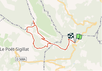

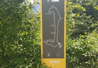
16 km | 29 km-effort


User


FREE GPS app for hiking
 SityTrail
IGN / Geographical institutes
SityTrail World
The world is yours!
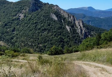
Trail Walking of 8.4 km to be discovered at Auvergne-Rhône-Alpes, Drôme, Bellecombe-Tarendol. This trail is proposed by lionelnottat.
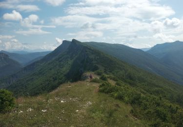
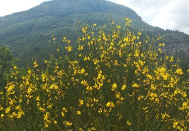
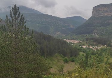
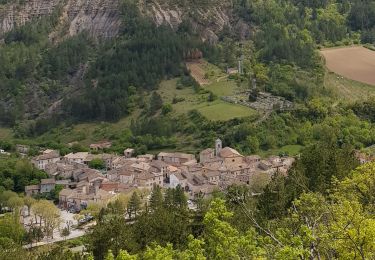
Très belles vues en balcon sur la vallée de Ste Jalle et Poet Sigillat.
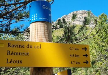
Superbe 360° à la table d'orientation près du pylone cote 1299.

Walking
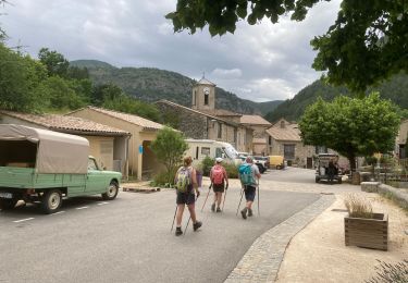
Nordic walking
Walking
Walking
Walking
Walking
Walking
Walking
Walking