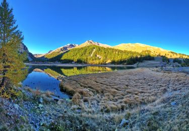
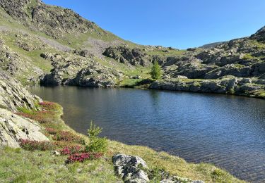
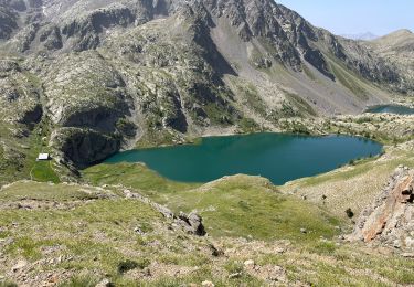
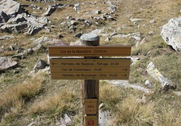
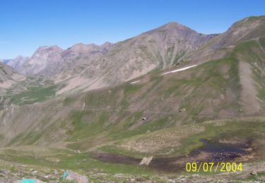
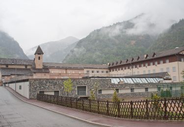
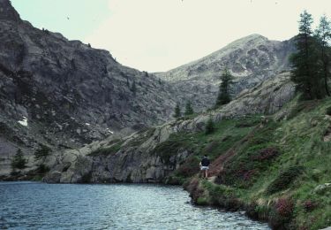
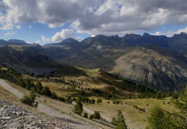
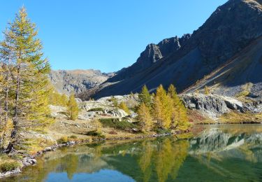
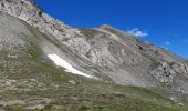
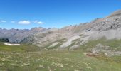
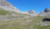
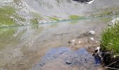
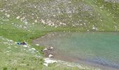
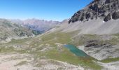
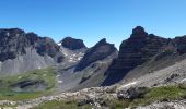
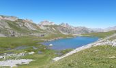
Trail Walking Saint-Dalmas-le-Selvage - le lac de Pelouse - Photo
 GILOU440
GILOU440

User

© OpenStreetMap contributors
Length
Length
7.6 km
Max alt
Max alt
2663 m
Uphill gradient
Uphill gradient
368 m
Km-Effort
Km-Effort  
12.6 km
Min alt
Min alt
2307 m
Downhill gradient
Downhill gradient
406 m
Boucle
Boucle
No
Creation date :
2020-06-30 08:18:21.699
Updated on :
2020-06-30 17:56:10.77

(0 Reviews)

Walking
Walking
4h37
Difficulty : Medium

Scan this QR Code to open this trail in the SityTrail application

FREE GPS app for hiking

Logo SityTrail SityTrail
IGN / Geographical institutes

Download SityTrail from the App Store Download SityTrail from Google Play

Logo SityTrail SityTrail World
The world is yours!

Download SityTrail from the App Store Download SityTrail from Google Play Download SityTrail on Huawei AppGallery

About

Trail Walking of 7.6 km to be discovered at Provence-Alpes-Côte d'Azur, Maritime Alps, Saint-Dalmas-le-Selvage. This trail is proposed by GILOU440.

Description

Pour personne ne craignant pas les dévers.  1,6 km et 30 min aller de col raspaillon a col Pelouse
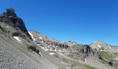
rando faite le 30 juin 2020 après le col de pelouse et l'embranchement du fort il y avait de la neige dans les combles,la transversale et a prendre avec précaution. sentier étroit et en dévers.
a
Après le lac c'est a vue jusqu'à la cabane ,on retrouve plus haut une sente cairné jusqu'au col de Pelouse

Elevation profile

Photos

Positioning

Country:
France
Region :
Provence-Alpes-Côte d'Azur
Department/Province :
Maritime Alps
Municipality :
Saint-Dalmas-le-Selvage
Location:
Unknown
Start:(UTM)
328570 ; 4912549 (32T) N.

Trails nearby

Trail Walking Jausiers - Cîme de Voga Via Jausier (lac de Sagne) - Photo
Walking
PapouBertrand

Walking

Very difficult
(1)
Jausiers, Provence-Alpes-Côte d'Azur, Alpes-de-Haute-Provence, France
14.9 km | 27 km-effort
6h 40min
Yes
Trail Walking Saint-Étienne-de-Tinée - Les Praz lacs de morgon pas de morgon col de fer - Photo
Walking
GUIDE
jouans

Walking

Very difficult
Saint-Étienne-de-Tinée, Provence-Alpes-Côte d'Azur, Maritime Alps, France
15.5 km | 30 km-effort
6h 54min
Yes
Trail Walking Saint-Étienne-de-Tinée - Reel Col du Fer lac refuge de Vens Cabane de Tortisse - Photo
Walking
GUIDE
jouans

Walking

Very difficult
Saint-Étienne-de-Tinée, Provence-Alpes-Côte d'Azur, Maritime Alps, France
18.4 km | 33 km-effort
5h 13min
Yes
Trail On foot Uvernet-Fours - Pointe de Colombart - Photo
On foot
GUIDE+

On foot

Easy
Uvernet-Fours, Provence-Alpes-Côte d'Azur, Alpes-de-Haute-Provence, France
8.1 km | 11.7 km-effort
2h 40min
Yes
Trail On foot Saint-Dalmas-le-Selvage - Crête de la Blanche - Photo
On foot
GUIDE+

On foot

Medium
Saint-Dalmas-le-Selvage, Provence-Alpes-Côte d'Azur, Maritime Alps, France
12 km | 20 km-effort
4h 33min
Yes
Trail On foot Saint-Étienne-de-Tinée - Chemin de l'Energie - Photo
On foot
GUIDE+

On foot

Very difficult
Saint-Étienne-de-Tinée, Provence-Alpes-Côte d'Azur, Maritime Alps, France
30 km | 55 km-effort
12h 34min
No
Trail On foot Saint-Étienne-de-Tinée - Chemin de l'Energie - Etape 1 - Photo
On foot
GUIDE+

On foot

Easy
Saint-Étienne-de-Tinée, Provence-Alpes-Côte d'Azur, Maritime Alps, France
7.4 km | 16.4 km-effort
3h 44min
No
Trail Walking Saint-Dalmas-le-Selvage - crete de la blanche (sens inverse des aiguilles de la montre) - Photo
Walking
GUIDE
stef789

Walking

Difficult
Saint-Dalmas-le-Selvage, Provence-Alpes-Côte d'Azur, Maritime Alps, France
31 km | 47 km-effort
6h 6min
No
Trail Walking Saint-Étienne-de-Tinée - Lac de Vens - Refuge pas de Vens 11/10/19 - Photo
Walking
GUIDE
R@ph

Walking

Very difficult
Saint-Étienne-de-Tinée, Provence-Alpes-Côte d'Azur, Maritime Alps, France
19.3 km | 37 km-effort
7h 20min
Yes


Close
My subscriptions