Trail Walking Sormery - Sormery - Photo
© OpenStreetMap contributors
Length
Length
15.8 km
Max alt
Max alt
299 m
Uphill gradient
Uphill gradient
247 m
Km-Effort
Km-Effort  
19 km
Min alt
Min alt
178 m
Downhill gradient
Downhill gradient
239 m
Boucle
Boucle
Yes
Creation date :
2020-06-28 07:36:42.49
Updated on :
2020-06-30 06:55:43.895

(0 Reviews)

Walking
Walking
5h29
Difficulty : Easy

Scan this QR Code to open this trail in the SityTrail application

FREE GPS app for hiking

Logo SityTrail SityTrail

IGN / Geographical institutes

Download SityTrail from the App Store Download SityTrail from Google Play

Logo SityTrail SityTrail World

The world is yours!

Download SityTrail from the App Store Download SityTrail from Google Play Download SityTrail on Huawei AppGallery

About

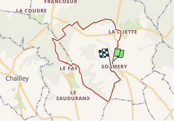
Trail Walking of 15.8 km to be discovered at Bourgogne-Franche-Comté, Yonne, Sormery. This trail is proposed by Jean CORBERON.

Description

Randonnée  Sormery ( Patricia et Jean Michel)

Elevation profile

Positioning

Country:
France
Region :
Bourgogne-Franche-Comté
Department/Province :
Yonne
Municipality :
Sormery
Location:
Unknown
Start:(UTM)
557307 ; 5326520 (31U) N.

Trails nearby

Trail Mountain bike Chailley - Chailley - Photo
Mountain bike
ceselle

Mountain bike

Very easy
Chailley, Bourgogne-Franche-Comté, Yonne, France
8.3 km | 10.6 km-effort
1h 0min
Yes


Close
My subscriptions