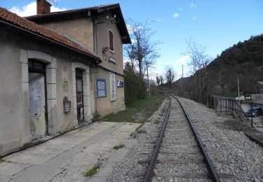
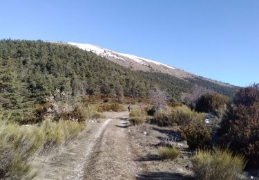
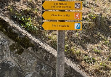
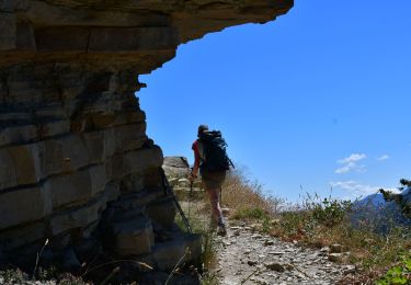
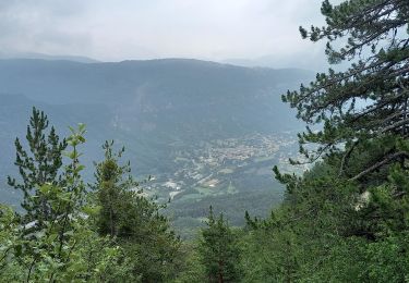
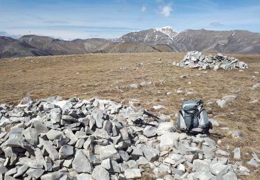
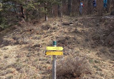
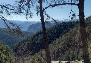
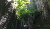
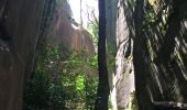
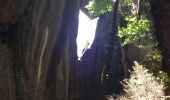
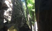
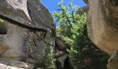
Trail Walking Annot - Les grés d'Annot: Jardins et chambre du Roi - Photo

Les grés d'Annot: Jardins et chambre du Roi

 lviallet
lviallet

User

© OpenStreetMap contributors
Length
Length
8.7 km
Max alt
Max alt
1043 m
Uphill gradient
Uphill gradient
421 m
Km-Effort
Km-Effort  
14.3 km
Min alt
Min alt
689 m
Downhill gradient
Downhill gradient
420 m
Boucle
Boucle
Yes
Creation date :
2020-06-29 08:51:12.0
Updated on :
2020-06-29 18:30:40.847

(0 Reviews)

Walking
Walking
3h01
Difficulty : Medium

Scan this QR Code to open this trail in the SityTrail application

FREE GPS app for hiking

Logo SityTrail SityTrail

IGN / Geographical institutes

Download SityTrail from the App Store Download SityTrail from Google Play

Logo SityTrail SityTrail World
The world is yours!

Download SityTrail from the App Store Download SityTrail from Google Play Download SityTrail on Huawei AppGallery

About

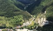
Trail Walking of 8.7 km to be discovered at Provence-Alpes-Côte d'Azur, Alpes-de-Haute-Provence, Annot. This trail is proposed by lviallet.

Description

Très jolie ballade.
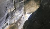
Au début de l'ère tertiaire, il y a 65 millions d'années, la mer s'est retirée en déposant localement des sables gréseux. Quelques millier d'années plus tard, ces sables, liés par des calcaires, se sont solidifiés formant de grandes falaises. Puis sous l'action de l'érosion, les falaises se sont disloquées en de multitudes blocs.

Elevation profile

Photos

Positioning

Country:
France
Region :
Provence-Alpes-Côte d'Azur
Department/Province :
Alpes-de-Haute-Provence
Municipality :
Annot
Location:
Unknown
Start:(UTM)
312167 ; 4871315 (32T) N.

Trails nearby

Trail On foot Annot - Le Grès d'Annot - Photo
On foot
GUIDE+

On foot

Easy
Annot, Provence-Alpes-Côte d'Azur, Alpes-de-Haute-Provence, France
5.9 km | 10.9 km-effort
2h 28min
Yes
Trail Touring skiing Castellet-lès-Sausses - mourre Frey te tête de travers - Photo
Touring skiing
GUIDE
nadd73

Touring skiing

Easy
Castellet-lès-Sausses, Provence-Alpes-Côte d'Azur, Alpes-de-Haute-Provence, France
8.8 km | 21 km-effort
5h 1min
Yes
Trail Walking Annot - J4 Annot - Photo
Walking
ETMU5496

Walking

Medium
Annot, Provence-Alpes-Côte d'Azur, Alpes-de-Haute-Provence, France
6.2 km | 11.3 km-effort
2h 34min
Yes
Trail Walking Annot - Les Grès d'Annot - Photo
Walking
LtZIP

Walking

Medium
Annot, Provence-Alpes-Côte d'Azur, Alpes-de-Haute-Provence, France
5.8 km | 10.8 km-effort
2h 9min
Yes
Trail Walking Annot - Rando gastro Roncharel - Photo
Walking
Marchopier

Walking

Medium
Annot, Provence-Alpes-Côte d'Azur, Alpes-de-Haute-Provence, France
5.8 km | 11.9 km-effort
2h 42min
No
Trail Walking Annot - Les grès d'Annot - Photo
Walking
Thierryrando06

Walking

Medium
(1)
Annot, Provence-Alpes-Côte d'Azur, Alpes-de-Haute-Provence, France
11.5 km | 19.2 km-effort
6h 2min
Yes
Trail Walking Castellet-lès-Sausses - Tête de travers et Mourre Frey, du Col du Fam - Photo
Walking
GrouGary

Walking

Medium
(1)
Castellet-lès-Sausses, Provence-Alpes-Côte d'Azur, Alpes-de-Haute-Provence, France
11.9 km | 24 km-effort
5h 28min
Yes
Trail Walking Annot - Rando bleue - Photo
Walking
Marchopier

Walking

Easy
Annot, Provence-Alpes-Côte d'Azur, Alpes-de-Haute-Provence, France
3.9 km | 5.8 km-effort
1h 22min
Yes
Trail Walking Braux - Rando Pieŕre qui tremble Chabrieres Peloussis Argenton  - Photo
Walking
Marchopier

Walking

Medium
Braux, Provence-Alpes-Côte d'Azur, Alpes-de-Haute-Provence, France
14 km | 22 km-effort
6h 27min
Yes


Close
My subscriptions