


16.1 km | 26 km-effort


User


FREE GPS app for hiking
 SityTrail
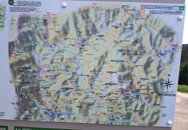
IGN / Geographical institutes
SityTrail World
The world is yours!
Trail Walking of 19.8 km to be discovered at Occitania, Gard, Aujac. This trail is proposed by dansmabulle.
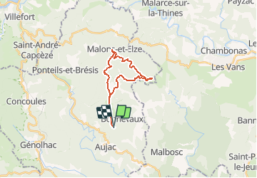
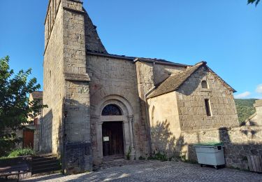
TOUR DES HAMEAUX DE MALONS
19.8 Km - 06:30 - D 600 m
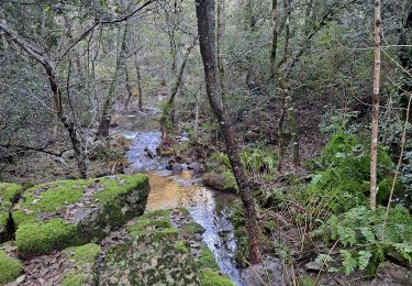
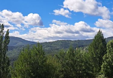
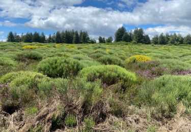
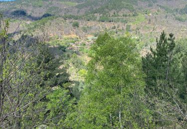
Départ randonnée : col du Péras sur la commune d'Aujac (Gard 30) Tour des hameaux de MalonsRandonnée de 22,5 km au départ du col du Péras.Superbe paysages, superbes hameauxUne petite grimpette pour remonter à partir du FrontalBonne randonnée
Walking
Walking
Walking
Walking
Walking
Walking
Walking
Walking
Walking