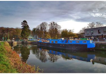
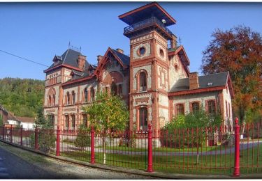
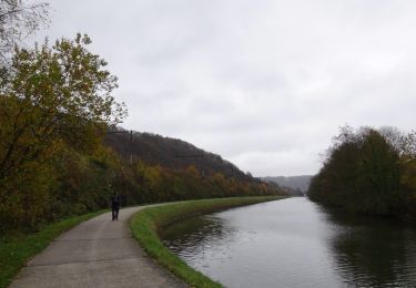
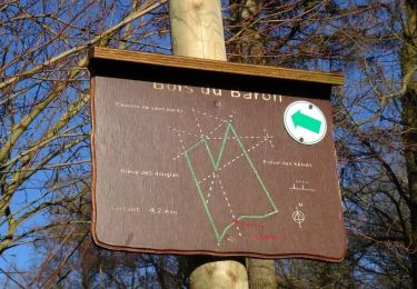
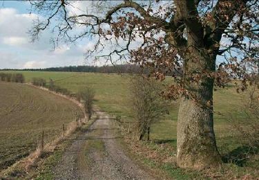
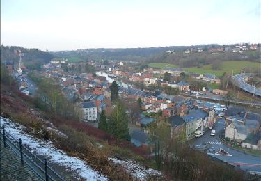
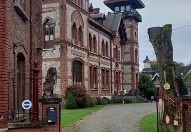
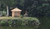
Trail Walking Thuin - BE-Thuin - Hourpes - Promenade du charbonnier - Photo

BE-Thuin - Hourpes - Promenade du charbonnier

 MicDul
MicDul

User

© OpenStreetMap contributors
Length
Length
7.3 km
Max alt
Max alt
142 m
Uphill gradient
Uphill gradient
105 m
Km-Effort
Km-Effort  
8.7 km
Min alt
Min alt
106 m
Downhill gradient
Downhill gradient
107 m
Boucle
Boucle
Yes
Creation date :
2020-06-26 07:47:12.0
Updated on :
2020-06-27 15:55:52.188

(0 Reviews)

Walking
Walking
1h41
Difficulty : Unknown

Scan this QR Code to open this trail in the SityTrail application

FREE GPS app for hiking

Logo SityTrail SityTrail
IGN / Geographical institutes

Download SityTrail from the App Store Download SityTrail from Google Play

Logo SityTrail SityTrail World
The world is yours!

Download SityTrail from the App Store Download SityTrail from Google Play Download SityTrail on Huawei AppGallery

About

Trail Walking of 7.3 km to be discovered at Wallonia, Hainaut, Thuin. This trail is proposed by MicDul.

Description

Hourpes ... Ce hameau thudinien entouré de bois et installé depuis les temps les plus anciens dans une vallée qui s'étend entre le Sambre et le versant abrupt du bois Lecreps est à découvrir.
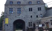
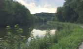
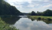
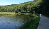
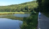
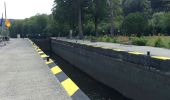
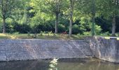
Départ de la rue des Bonniers à Hourpes, sur la petite place en terre. Remontez et prendre la première à gauche juste avant le bois. Ensuite, prendre à gauche le sentier qui mène à la Sambre et emprunter le chemin de halage à droite. Avant le pont de chemin de fer qui enjambe la Sambre, prendre sur la droite le chemin qui monte et passer ensuite sur ce pont. Suivre le sentier qui longe la voie ferrée. Au bout, à droite et puis à gauche, la rue d'Hourpes. Poursuivre jusque l'Abbaye d'Aulne La dépasser, longer le mini-golf, tourner à droite, passer l'écluse et entrer dans le village de Leernes. Passer le pont-levis et prendre le chemin de halage à gauche. Après l'écluse du trou d'Aulne, entrez dans le bois. Au premier croisement, prendre à gauche et revenir au point de départ.

Elevation profile

Photos

30 photos in total. Please click on a photo to see them all in the gallery.

Positioning

Country:
Belgium
Region :
Wallonia
Department/Province :
Hainaut
Municipality :
Thuin
Location:
Thuin
Start:(UTM)
592490 ; 5580344 (31U) N.

Trails nearby

Trail Walking Fontaine-l'Évêque - de l'Abbaye d'Aulne au hameau de Hourpes - Thuin - Photo
Walking
GUIDE
Desrumaux

Walking

Very easy
(2)
Fontaine-l'Évêque, Wallonia, Hainaut, Belgium
8.7 km | 10.9 km-effort
3h 16min
Yes
Trail Walking Thuin - La balade du Bois des Waibes. - Photo
Walking
GUIDE
Desrumaux

Walking

Easy
(4)
Thuin, Wallonia, Hainaut, Belgium
9.9 km | 12 km-effort
2h 41min
Yes
Trail Walking Fontaine-l'Évêque - Balade à Fontaine l'Evêque - Photo
Walking
GUIDE
Desrumaux

Walking

Easy
(5)
Fontaine-l'Évêque, Wallonia, Hainaut, Belgium
7.9 km | 9.6 km-effort
2h 6min
Yes
Trail Walking Montigny-le-Tilleul - Balade en Val de Sambre - De Landelies à l'Abbaye d'Aulne  - Photo
Walking
GUIDE
Desrumaux

Walking

Very easy
(1)
Montigny-le-Tilleul, Wallonia, Hainaut, Belgium
6.6 km | 8 km-effort
1h 49min
Yes
Trail Walking Lobbes - Balade à Mont-Sainte-Geneviève - Photo
Walking
GUIDE
Desrumaux

Walking

Very easy
(3)
Lobbes, Wallonia, Hainaut, Belgium
9.1 km | 10.4 km-effort
2h 18min
Yes
Trail Walking Thuin - RB-Ha-08 – Raccourci 1 - Tours et détours entre Beaumont et Barbençon - Photo
Walking
PRO

Walking

Very difficult
(2)
Thuin, Wallonia, Hainaut, Belgium
25 km | 32 km-effort
7h 12min
Yes
Trail Walking Thuin - RB-Ha-08 - Tours et détours entre Beaumont et Barbençon - Photo
Walking
PRO

Walking

Very difficult
(2)
Thuin, Wallonia, Hainaut, Belgium
22 km | 28 km-effort
6h 26min
Yes
Trail Walking Thuin - Thuin - De la Ville Haute à la Ville Basse - Photo
Walking
GUIDE
Desrumaux

Walking

Easy
(4)
Thuin, Wallonia, Hainaut, Belgium
4.5 km | 6.6 km-effort
1h 20min
Yes
Trail Walking Lobbes - LOBBES (vers Hourpes) dép RHS - Photo
Walking
ELISECRO

Walking

Medium
(1)
Lobbes, Wallonia, Hainaut, Belgium
7.2 km | 8.6 km-effort
2h 1min
Yes


Close
My subscriptions