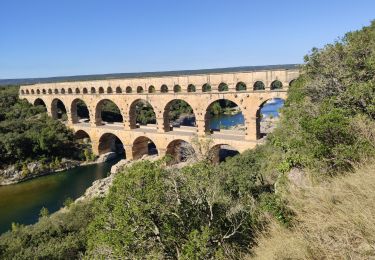
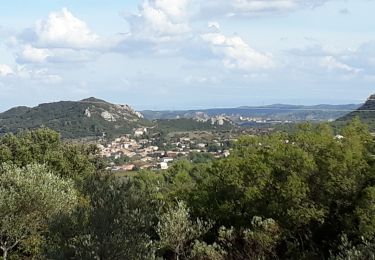
Trail Walking Remoulins - REMOULINS - VERS-PONT-DU-GARD ET LES CARRIERES - 18.0Km 05h30 - Dénivelé 270 m - Photo

REMOULINS - VERS-PONT-DU-GARD ET LES CARRIERES - 18.0Km 05h30 - Dénivelé 270 m

© OpenStreetMap contributors
Length
Length
18 km
Max alt
Max alt
102 m
Uphill gradient
Uphill gradient
275 m
Km-Effort
Km-Effort  
22 km
Min alt
Min alt
14 m
Downhill gradient
Downhill gradient
275 m
Boucle
Boucle
Yes
Creation date :
2014-12-10 00:00:00.0
Updated on :
2014-12-10 00:00:00.0

(1 Reviews)

Walking
Walking
4h42
Difficulty : Medium

Scan this QR Code to open this trail in the SityTrail application

FREE GPS app for hiking

Logo SityTrail SityTrail

IGN / Geographical institutes

Download SityTrail from the App Store Download SityTrail from Google Play

Logo SityTrail SityTrail World

The world is yours!

Download SityTrail from the App Store Download SityTrail from Google Play Download SityTrail on Huawei AppGallery

About

Trail Walking of 18 km to be discovered at Occitania, Gard, Remoulins. This trail is proposed by dansmabulle.

Description

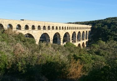
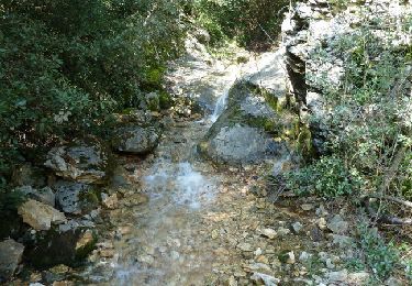
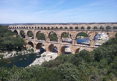
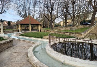
Départ randonnée : Remoulins  (Gard 30) Balisage partiel jaune. Carte IGN 2941OT.Circuit sous forme de boucle. Du Parking du pont de Remoulins partir en direction du Pont du Gard (D981) rive droite et monter dans la guarrigue jusqu'au vallon de la "Sartanette" et trouver les vestige de l'aqueduc romain que l'ont emprunte pour atteindre et traverser le Pont du Gard.Poursuivre par le GR6 puis le PR en direction de Vers.Aller à la fontaine de Misserand puis le lavoir de la place, et un autre lavoir avant de passer au carrières et en faire le tour.Longer le ruisseau de Font Barzaude et Font Grasse avant de rejoindre la rive du Gardon au "Codes", et le suivre au plus près (refermer les clotures) jusqu'au débarcadère canoés pour suivre la route sur 200m environ et revenir sur le sentier en bordure du Gardon.Contourner Remoulins sous l'ancien chemin de ronde et retrouver le parking du départ.Bonne randonnée 

Elevation profile

Positioning

Country:
France
Region :
Occitania
Department/Province :
Gard
Municipality :
Remoulins
Location:
Unknown
Start:(UTM)
624814 ; 4866115 (31T) N.

Comments

Please log in to post a review or rate the element


Très belles découvertes, le pont du Gard, ses vestiges de canalisations le long du parcours, les carrières de pierre qui ont servi a sa contruction, nous avons remonté le temps. Superbe 😉👌👍


Trails nearby

Trail Walking Vers-Pont-du-Gard - Rando pont du Gard - Photo
Walking
SabetMick

Walking

Easy
(1)
Vers-Pont-du-Gard, Occitania, Gard, France
6.8 km | 8.6 km-effort
2h 49min
No
Trail Walking Argilliers - Les Darbounelles - Argilliers - Photo
Walking
tracegps

Walking

Medium
(1)
Argilliers, Occitania, Gard, France
11.4 km | 13.9 km-effort
3h 0min
Yes
Trail Walking Saint-Bonnet-du-Gard - Le Pont du Gard - Photo
Walking
VacheKiri67

Walking

Difficult
(2)
Saint-Bonnet-du-Gard, Occitania, Gard, France
18.6 km | 24 km-effort
5h 30min
Yes
Trail Walking Saint-Bonnet-du-Gard - Chemins oubliés de l'Aqueduc  - Photo
Walking
GUIDE
nadinebondoux

Walking

Medium
Saint-Bonnet-du-Gard, Occitania, Gard, France
12.7 km | 16.5 km-effort
3h 39min
Yes
Trail Walking Vers-Pont-du-Gard - Vers-pont-du-gard panorama-dfci - Photo
Walking
rando30129

Walking

Medium
(2)
Vers-Pont-du-Gard, Occitania, Gard, France
9.4 km | 11.5 km-effort
2h 31min
Yes
Trail Walking Lédenon - Sernhac / Saint Bonnet /Pont du Gard/ Ledenon - Photo
Walking
GUIDE
nadinebondoux

Walking

Medium
Lédenon, Occitania, Gard, France
18.7 km | 25 km-effort
5h 23min
Yes
Trail Walking Saint-Hilaire-d'Ozilhan - SAINT-HILAIRE-D OZILHAN - FORET DE VALLONGUE - 11.7Km - 03h20 - Dénivelé 250 m - Photo
Walking
dansmabulle

Walking

Medium
(1)
Saint-Hilaire-d'Ozilhan, Occitania, Gard, France
11.8 km | 14.7 km-effort
3h 14min
Yes
Trail Walking Saint-Bonnet-du-Gard - SAINT BONNET DU GARD - PONT DU GARD - Variante - 15.8Km 05h00 - Dénivelé 410 m - Photo
Walking
dansmabulle

Walking

Difficult
(3)
Saint-Bonnet-du-Gard, Occitania, Gard, France
15.8 km | 21 km-effort
4h 30min
Yes
Trail Walking Vers-Pont-du-Gard - Vers-Pont-du-Guard - Photo
Walking
bacasable34

Walking

Easy
(2)
Vers-Pont-du-Gard, Occitania, Gard, France
8.7 km | 10.6 km-effort
2h 17min
Yes


Close
My subscriptions