


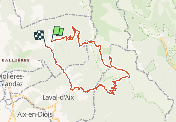

12.6 km | 27 km-effort


User


FREE GPS app for hiking
 SityTrail
IGN / Geographical institutes
SityTrail World
The world is yours!
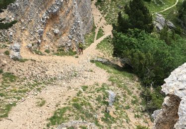
Trail Walking of 22 km to be discovered at Auvergne-Rhône-Alpes, Drôme, Die. This trail is proposed by ajd26.
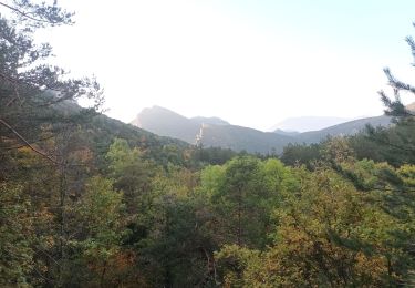
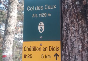
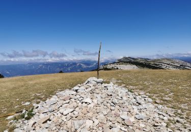
Depuis l’abbaye, comptoir à moutons, roc d’Ambane, pied ferré et retour par le col de la Raille, col des Caux et col de l’abbaye
Sans difficultés techniques mais longue avec fort dénivelé


sport

Walking

Walking

sport

Walking
Walking
Walking
Walking
Walking