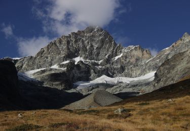
27 km | 45 km-effort
Dent Blanche
rohrh
User
Length
65 km
Max alt
4328 m
Uphill gradient
8632 m
Km-Effort
176 km
Min alt
1858 m
Downhill gradient
7439 m
Boucle
No
Creation date :
2014-12-11 00:00:00.0
Updated on :
2014-12-11 00:00:00.0
--
Difficulty : Unknown
FREE GPS app for hiking
About
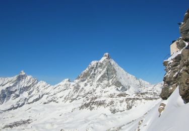
Trail Other activity of 65 km to be discovered at Valais/Wallis, Visp, Zermatt. This trail is proposed by rohrh.
Positioning
Country:
Switzerland
Region :
Valais/Wallis
Department/Province :
Visp
Municipality :
Zermatt
Location:
Unknown
Start:(Dec)
Start:(UTM)
393833 ; 5095197 (32T) N.
Comments
Trails nearby
Sentier Jean Antoine Carrel - 30 km - E/EE
On foot
Very difficult
Valtournenche,
Aosta Valley,
Unknown,
Italy
10h 15min
Yes
Zustieg Arbenbiwak
On foot
Easy
Zermatt,
Valais/Wallis,
Visp,
Switzerland
3.5 km | 12.1 km-effort
2h 44min
No
bdr03_Matterhorn_Gondo
Other activity
Very easy
Valtournenche,
Aosta Valley,
Unknown,
Italy
76 km | 192 km-effort
Unknown
No
xxx02_Trient_Matterhorn
Other activity
Very easy
Valtournenche,
Aosta Valley,
Unknown,
Italy
95 km | 262 km-effort
62h 11min
No
Dent Blanche Ref-sommet-cab.-Salay
Other activity
Very easy
Evolène,
Valais/Wallis,
Hérens,
Switzerland
11.1 km | 30 km-effort
Unknown
No
Descente de l'Arben Biwak à Zermatt
Walking
Medium
Zermatt,
Valais/Wallis,
Visp,
Switzerland
12.8 km | 18.9 km-effort
4h 3min
No