


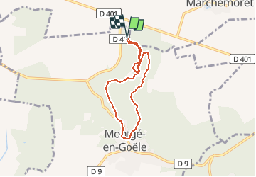

7.9 km | 8.9 km-effort


User


FREE GPS app for hiking
 SityTrail
IGN / Geographical institutes
SityTrail World
The world is yours!
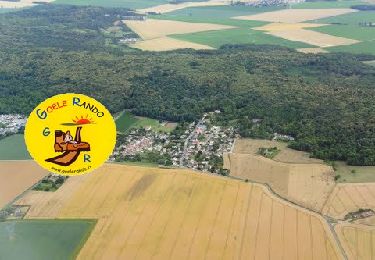
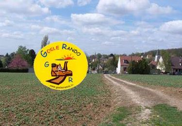
Trail Walking of 5.7 km to be discovered at Ile-de-France, Seine-et-Marne, Montgé-en-Goële. This trail is proposed by GOELERANDO2.
randonnée au cœur du parc de St Thibault
Départ au choix des parkings sur le D41 ou au sommet du Domaine près du centre équestre de Montgé en Goêle 77
Walking

Walking
On foot
Walking

Walking
Walking
Walking

Walking

Walking