Trail Walking Pouzilhac - POUZILHAC - LE SENTIER BOTANIQUE - 11.3 Km - 3h00 - Dénivelé 228 m - Photo

POUZILHAC - LE SENTIER BOTANIQUE - 11.3 Km - 3h00 - Dénivelé 228 m

© OpenStreetMap contributors
Length
Length
11.3 km
Max alt
Max alt
255 m
Uphill gradient
Uphill gradient
199 m
Km-Effort
Km-Effort  
14 km
Min alt
Min alt
126 m
Downhill gradient
Downhill gradient
198 m
Boucle
Boucle
Yes
Creation date :
2014-12-10 00:00:00.0
Updated on :
2014-12-10 00:00:00.0

(0 Reviews)

Walking
Walking
3h03
Difficulty : Medium

Scan this QR Code to open this trail in the SityTrail application

FREE GPS app for hiking

Logo SityTrail SityTrail

IGN / Geographical institutes

Download SityTrail from the App Store Download SityTrail from Google Play

Logo SityTrail SityTrail World

The world is yours!

Download SityTrail from the App Store Download SityTrail from Google Play Download SityTrail on Huawei AppGallery

About

Trail Walking of 11.3 km to be discovered at Occitania, Gard, Pouzilhac. This trail is proposed by dansmabulle.

Description

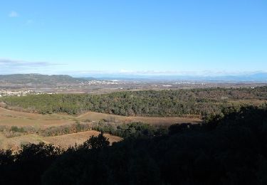
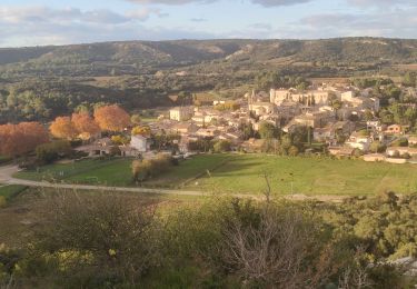
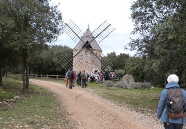
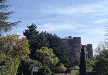
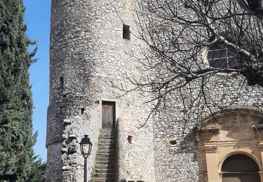
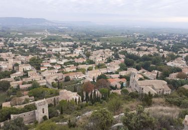
Sentier botanique de Gaujac et la forêt de Pouzilhac au programme du circuit, avec la possibilité de faire le tour complet du sentier botanique (20mn de plus). Très belles vues sur la vallée du Rhône. Du centre sportif de Pouzilhac, partir au nord par un bon chemin qui devient un sentier et domine le paysage. Descendre au sentier botanique puis quitter la combe à campagne Athon. Admirer le paysage tout le long de la montée, puis à travers bois en suivant le balisage jaune, retourner au parking. Bonne rando.

Elevation profile

Positioning

Country:
France
Region :
Occitania
Department/Province :
Gard
Municipality :
Pouzilhac
Location:
Unknown
Start:(UTM)
626758 ; 4877717 (31T) N.

Trails nearby

Trail Walking Pouzilhac - Le sentier botanique - Pouzilhac - Photo
Walking
tracegps

Walking

Difficult
(4)
Pouzilhac, Occitania, Gard, France
11.3 km | 14 km-effort
3h 30min
Yes
Trail Walking Valliguières - Valliguières - St Pierre - Solidarité - Photo
Walking
rando30129

Walking

Medium
(1)
Valliguières, Occitania, Gard, France
5.6 km | 7 km-effort
1h 35min
Yes
Trail Walking Valliguières - Valliguières - Etang - St Pierre - Photo
Walking
rando30129

Walking

Medium
(1)
Valliguières, Occitania, Gard, France
7.3 km | 8.8 km-effort
2h 14min
Yes
Trail Walking La Capelle-et-Masmolène - Masmolène et l'étang de la Capelle - Photo
Walking
jesusmarieclaire

Walking

Very easy
(1)
La Capelle-et-Masmolène, Occitania, Gard, France
14.4 km | 16.8 km-effort
3h 37min
No
Trail Walking La Capelle-et-Masmolène - La Capelle-et-Masmolène - Photo
Walking
Gegetop

Walking

Easy
La Capelle-et-Masmolène, Occitania, Gard, France
7.7 km | 9.1 km-effort
2h 8min
Yes
Trail Walking La Capelle-et-Masmolène - la Capelle Masmolène - Photo
Walking
GUIDE
nadinebondoux

Walking

Medium
La Capelle-et-Masmolène, Occitania, Gard, France
16.8 km | 21 km-effort
5h 45min
Yes
Trail Walking Saint-Victor-la-Coste - Saint victor la coste 300323 - Photo
Walking
fario

Walking

Very difficult
Saint-Victor-la-Coste, Occitania, Gard, France
14.7 km | 19.4 km-effort
4h 24min
Yes
Trail Walking Gaujac - Gaujac 160323 - Photo
Walking
fario

Walking

Difficult
Gaujac, Occitania, Gard, France
11 km | 14.3 km-effort
3h 15min
Yes
Trail Walking Saint-Victor-la-Coste - St Victor la Coste Goule de Navet - Photo
Walking
Manoune

Walking

Medium
Saint-Victor-la-Coste, Occitania, Gard, France
16.4 km | 22 km-effort
5h 47min
Yes


Close
My subscriptions