


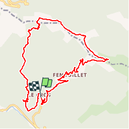

13.6 km | 21 km-effort


User


FREE GPS app for hiking
 SityTrail
IGN / Geographical institutes
SityTrail World
The world is yours!
Trail Walking of 12.2 km to be discovered at Occitania, Gard, Val-d'Aigoual. This trail is proposed by dansmabulle.
LE CROS – BONPIERRIER
12.2Km - 05:00
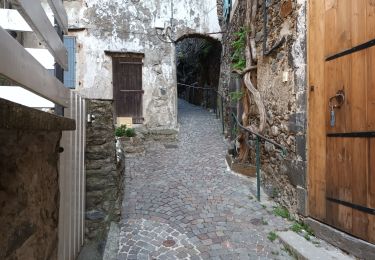
Départ randonnée : Village Le Cros
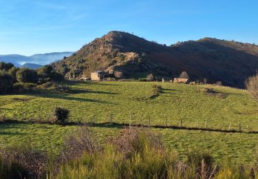
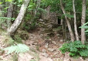
( Gard 30 ) Depuis le village, vous commencez la montée su un chemin à travers bois.Vous arrivez sur la crête (croisement avec le GR6) avec une jolie vue sur Faveyrolle.De là, vous prenez à droite le long de la crête jusqu'au col de Bonpierrier.Vous attaquez alors la descente jusqu'à votre point de départ.

Walking

Walking

Walking

Walking
Walking

Walking
Walking
Walking