


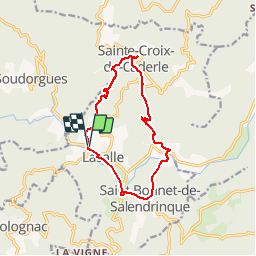

13.1 km | 19.5 km-effort


User


FREE GPS app for hiking
 SityTrail
IGN / Geographical institutes
SityTrail World
The world is yours!
Trail Walking of 12.8 km to be discovered at Occitania, Gard, Lasalle. This trail is proposed by dansmabulle.
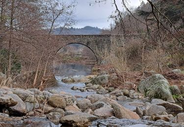
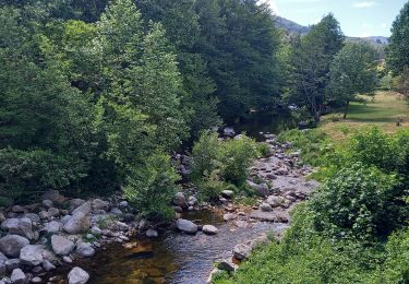
LASALLE - SAINTE-CROIX-DE-CADERLE – CALVIAC
8.3Km - 02h30
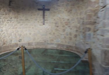
Départ randonnée : Village de Lasalle (Gard 30) Randonnée dans les Cévennes, de Lassalla au superbe village de sainte croix de Caderle, N'oubliez pas de passer par l'église de Ste-Croix-de-Caderle.

Walking
Walking
Walking
Walking
On foot


Walking
Walking
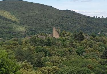
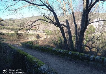
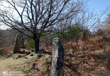
ballade très sympa. passage ensoleillé dans la remontée vers Sainte Croix, pour le reste : sous bois ou forêt.