


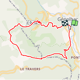

15.3 km | 23 km-effort


User


FREE GPS app for hiking
 SityTrail
IGN / Geographical institutes
SityTrail World
The world is yours!
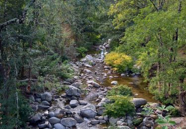
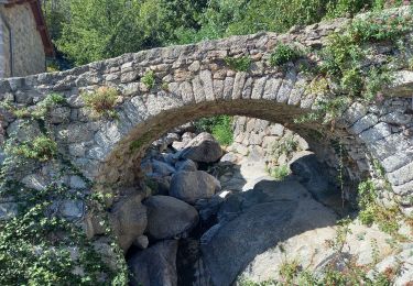
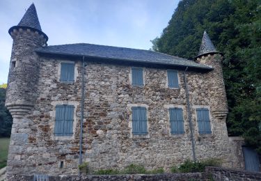
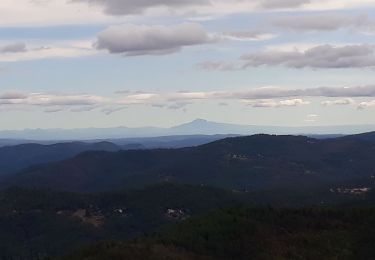
Trail Walking of 9.3 km to be discovered at Occitania, Gard, Génolhac. This trail is proposed by dansmabulle.
GENOLHAC
9.2 Km - 03h30 Heures - Dénivelé 500 mètres
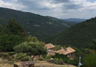
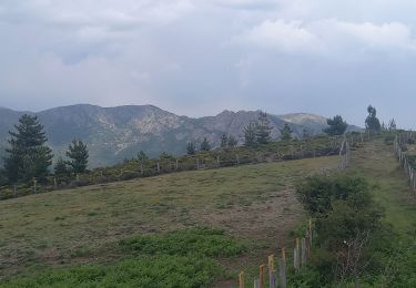
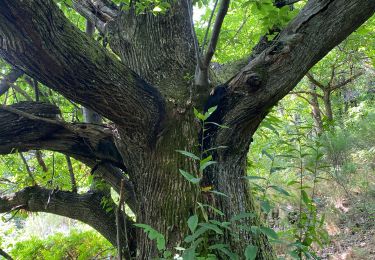
Départ randonnée : Village de Génolhac (Gard 30) Randonnée de 10km à la limite des départements du Gard et de la Lozère en partant de Génolhac par l'entrée du Parc National des Cévennes côté Est du Mont-Lozère.Bonne randonnée.
Walking
Walking
Walking

Walking
Walking
Walking
Walking
Walking
Rando sympa mais la trace n'est pas fidèle à la réalité du terrain.