


10.7 km | 12.7 km-effort


User


FREE GPS app for hiking
 SityTrail
IGN / Geographical institutes
SityTrail World
The world is yours!
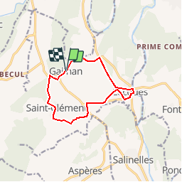
Trail Walking of 10.9 km to be discovered at Occitania, Gard, Gailhan. This trail is proposed by dansmabulle.
GAILHAN
10.9Km - 03h00
Départ randonnée : Village de Gailhan (Gard 30) Rando facile 12 Km, Dans les plaines au milieu des vignes l'on traverse des villages très beaux.Bonne randonnée

Walking

Walking
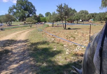
Horseback riding

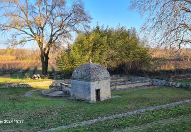
Walking


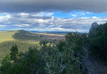
Walking
Walking

Walking