


14.1 km | 17.3 km-effort


User


FREE GPS app for hiking
 SityTrail
IGN / Geographical institutes
SityTrail World
The world is yours!
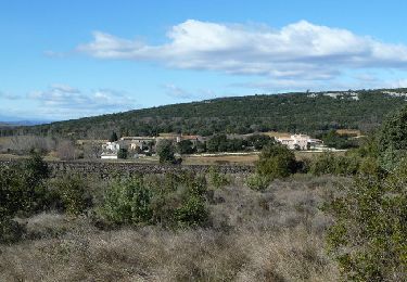
Trail Walking of 14.8 km to be discovered at Occitania, Gard, Collorgues. This trail is proposed by dansmabulle.
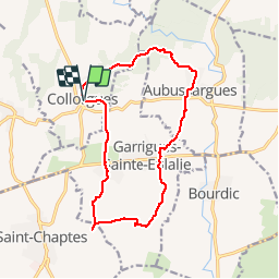
COLLORGUES - STE EULALIE
15.7Km - 04h30
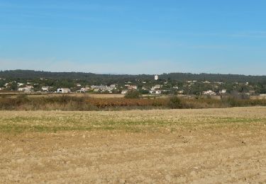
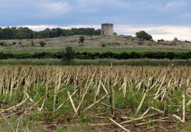
Départ randonnée : parking du village (mairie) de Collorgues (Gard 30) Collorgues - Ste Eulalie 30190 Carte Ign 2841E et 2941OT.Balisage partiel jaune.Alternance de forets et vignobles et la "roche gravée". Depuis le parking partir vers l'est puis le sud pour aller à "Sainte Eulalie". Après la visite du village, toujours plein sud aller au "rocher gravé" (aller retour). Cheminer parmi le vignoble et traverser "Garrigues" avant de trouver "Aubussargues" et son chateau. Passer à "la Madone" poursuivre par le "sentier des Anes" avant de regagner le départ.Randonnée facile sur bons chemins .Bonne randonnée
Walking

Walking
Walking
Walking
Walking

Mountain bike
Walking
Walking
