


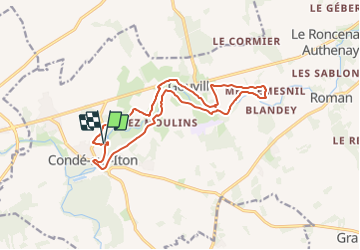

9.5 km | 10.6 km-effort


User


FREE GPS app for hiking
 SityTrail
IGN / Geographical institutes
SityTrail World
The world is yours!
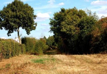
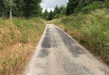
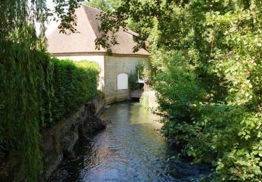
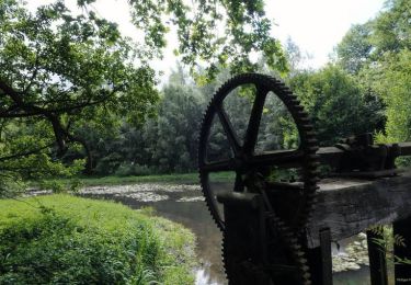
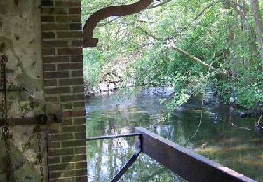
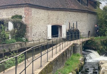
Trail On foot of 14.4 km to be discovered at Normandy, Eure, Mesnils-sur-Iton. This trail is proposed by papylinlin.
Walking

Walking

Walking
Walking
Walking
Walking
Walking

Walking