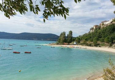
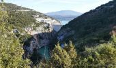
Trail Walking Baudinard-sur-Verdon - Baudinard sur Verdon, les gorges. - Photo

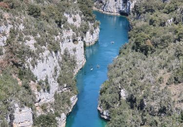
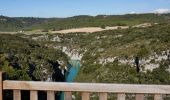
Baudinard sur Verdon, les gorges.

 Sugg
Sugg

User

© OpenStreetMap contributors
Length
Length
17.5 km
Max alt
Max alt
708 m
Uphill gradient
Uphill gradient
428 m
Km-Effort
Km-Effort  
23 km
Min alt
Min alt
419 m
Downhill gradient
Downhill gradient
426 m
Boucle
Boucle
Yes
Creation date :
2019-03-22 17:00:18.531
Updated on :
2019-03-22 17:00:18.709

(2 Reviews)

Walking
Walking
5h04
Difficulty : Medium

Scan this QR Code to open this trail in the SityTrail application

FREE GPS app for hiking

Logo SityTrail SityTrail

IGN / Geographical institutes

Download SityTrail from the App Store Download SityTrail from Google Play

Logo SityTrail SityTrail World
The world is yours!

Download SityTrail from the App Store Download SityTrail from Google Play Download SityTrail on Huawei AppGallery

About

Trail Walking of 17.5 km to be discovered at Provence-Alpes-Côte d'Azur, Var, Baudinard-sur-Verdon. This trail is proposed by Sugg.

Description

Rando réalisée sous le soleil,le 22-01-2014 avec Restons en forme de Draguignan, sous la baguette de Pierre notre guide.
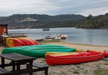
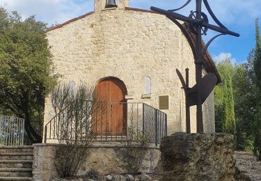
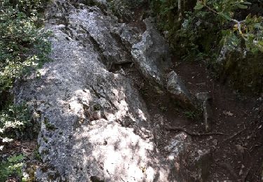
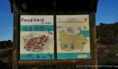
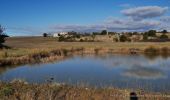
Départ depuis le parking à la sortie du village, puis l'ancien pigeonnier, Notre Dame de Baudinard, Le sentier botanique ( et parcours de santé ) le belvédère sur le barrage, le sentier au dessus des gorges ( à faire en canoë depuis Montpézat depuis la base nautique( ou d'ailleurs ), la " plaine " de l'Arbitelle, l'ancien Prieuré, la chapelle St Jean et terminus.

Elevation profile

Photos

Positioning

Country:
France
Region :
Provence-Alpes-Côte d'Azur
Department/Province :
Var
Municipality :
Baudinard-sur-Verdon
Location:
Unknown
Start:(UTM)
269141 ; 4844446 (32T) N.

Comments

Please log in to post a review or rate the element


magnifique randonnée de superbes points de vue un site botanique intéressant. sans difficulté


manifyyýquz


Trails nearby

Trail Walking Montagnac-Montpezat - coteau Chiron - Photo
Walking
aubr

Walking

Medium
(1)
Montagnac-Montpezat, Provence-Alpes-Côte d'Azur, Alpes-de-Haute-Provence, France
5.5 km | 6.8 km-effort
1h 37min
Yes
Trail Walking Baudinard-sur-Verdon - 2023-04-11 Gorges de Baudinard - Photo
Walking
GUIDE
Kargil

Walking

Medium
Baudinard-sur-Verdon, Provence-Alpes-Côte d'Azur, Var, France
11.3 km | 16.2 km-effort
3h 40min
Yes
Trail Walking Artignosc-sur-Verdon - 11-10-2022 Artignosc - Baudinard - Photo
Walking
GUIDE
Kargil

Walking

Difficult
Artignosc-sur-Verdon, Provence-Alpes-Côte d'Azur, Var, France
16.9 km | 22 km-effort
3h 42min
Yes
Trail Walking Bauduen - Circuit au bord du lac Ste Croix - Photo
Walking
Elidabeth

Walking

Easy
(2)
Bauduen, Provence-Alpes-Côte d'Azur, Var, France
11.6 km | 15.8 km-effort
3h 0min
Yes
Trail Walking Bauduen - Le lac SAINTE-CROIX (Bauduen) - Photo
Walking
GUIDE
amiral13

Walking

Easy
Bauduen, Provence-Alpes-Côte d'Azur, Var, France
13.7 km | 18.2 km-effort
5h 39min
Yes
Trail Walking Baudinard-sur-Verdon - Baudinard-sur-Verdon, petite randonnée de rêve. - Photo
Walking
Jacot33

Walking

Medium
(1)
Baudinard-sur-Verdon, Provence-Alpes-Côte d'Azur, Var, France
10.9 km | 15.6 km-effort
3h 22min
Yes
Trail Walking Sainte-Croix-du-Verdon - Sainte-Croix-du-Verdon - Sentier des muletiers - Photo
Walking
GUIDE
Orcal37

Walking

Easy
Sainte-Croix-du-Verdon, Provence-Alpes-Côte d'Azur, Alpes-de-Haute-Provence, France
4.7 km | 7.2 km-effort
1h 20min
Yes
Trail Walking Baudinard-sur-Verdon - Gorges de Baudinard (Tour complet) - Photo
Walking
jmheydorff

Walking

Medium
(2)
Baudinard-sur-Verdon, Provence-Alpes-Côte d'Azur, Var, France
11.4 km | 15.4 km-effort
3h 32min
No
Trail Walking Baudinard-sur-Verdon - basses gorges - Photo
Walking
mapomme

Walking

Very easy
(3)
Baudinard-sur-Verdon, Provence-Alpes-Côte d'Azur, Var, France
6.6 km | 9.3 km-effort
2h 45min
Yes


Close
My subscriptions