18.2 km | 24 km-effort
Le Truel La Romiguière
ZITO12
User
Length
9.6 km
Max alt
473 m
Uphill gradient
417 m
Km-Effort
15.2 km
Min alt
264 m
Downhill gradient
418 m
Boucle
Yes
Creation date :
2020-06-17 14:22:52.63
Updated on :
2020-06-17 14:25:31.545
3h08
Difficulty : Medium
FREE GPS app for hiking
About
Trail Walking of 9.6 km to be discovered at Occitania, Aveyron, Le Truel. This trail is proposed by ZITO12.
Description
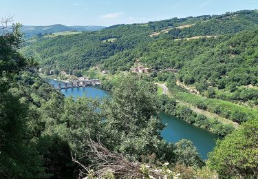
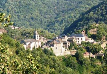
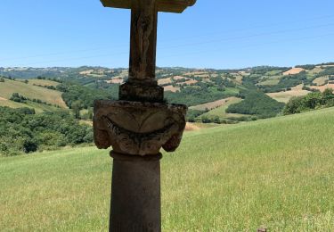
petite rando majoritaitement dans les bois mais avec de belles vues sur le Tarn
Positioning
Country:
France
Region :
Occitania
Department/Province :
Aveyron
Municipality :
Le Truel
Location:
Unknown
Start:(Dec)
Start:(UTM)
480610 ; 4877352 (31T) N.
Comments
Trails nearby
Villefranche de Panat
Walking
Easy
(2)
Villefranche-de-Panat,
Occitania,
Aveyron,
France
10.4 km | 11.9 km-effort
2h 42min
Yes
J11: Ayssènes-Brousse le Château-190522
Walking
Medium
,
Occitania,
Aveyron,
France
23 km | 33 km-effort
7h 29min
No
Villefranche de Panat à Salles Curan
Walking
Very difficult
Villefranche-de-Panat,
Occitania,
Aveyron,
France
24 km | 31 km-effort
4h 53min
No
Le chemin des Raspes - Ayssènes
Walking
Difficult
,
Occitania,
Aveyron,
France
14.1 km | 23 km-effort
4h 30min
Yes
la Sabaterie reco
Walking
Difficult
Le Truel,
Occitania,
Aveyron,
France
11.5 km | 15.7 km-effort
4h 51min
Yes
brousse le château
Walking
Very difficult
Le Truel,
Occitania,
Aveyron,
France
19.8 km | 28 km-effort
9h 4min
No
randonnée Villefranche de panat
Walking
Difficult
Villefranche-de-Panat,
Occitania,
Aveyron,
France
10.2 km | 12.7 km-effort
3h 10min
Yes
de truel au viala du tarn in live
Walking
Difficult
Le Truel,
Occitania,
Aveyron,
France
21 km | 32 km-effort
5h 7min
No