


12.8 km | 22 km-effort


User


FREE GPS app for hiking
 SityTrail
IGN / Geographical institutes
SityTrail World
The world is yours!
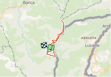
Trail Walking of 10.1 km to be discovered at New Aquitaine, Pyrénées-Atlantiques, Banca. This trail is proposed by DECHAMPD.
2020 06 16
Départ randonnée : Gosnaisto prés de Banca
Circuit sous forme de boucle.
Parcours : Gosnaisto prés de Banca, col Mehatzé ,col Ehunzaroy, Mendimocha et Adarza puis retour.
pris par la pluie nous avons écourtée le parcours.
plus de trace sur la fin nous avons coupé à travers un bois pour prendre la route et les voitures
On foot
On foot
Walking
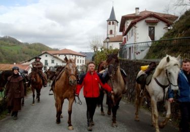
Equestrian
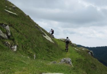
Mountain bike
Walking

Walking
Walking
Walking