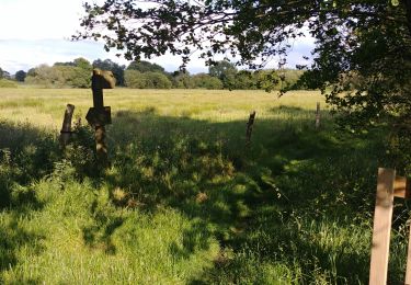
14.9 km | 17.2 km-effort
mez
eolebounty
User
Length
537 km
Boucle
No
Creation date :
2020-05-25 14:05:30.182
Updated on :
2020-06-16 09:40:13.029
5h40
Difficulty : Very easy
FREE GPS app for hiking
About
Trail Walking of 537 km to be discovered at Brittany, Finistère, Ploudaniel. This trail is proposed by eolebounty.
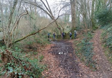
Positioning
Country:
France
Region :
Brittany
Department/Province :
Finistère
Municipality :
Ploudaniel
Location:
Unknown
Start:(Dec)
Start:(UTM)
403974 ; 5375961 (30U) N.
Comments
Trails nearby
Tremaouézan, tourbière et zone humide de Langazel
Walking
Very easy
Trémaouézan,
Brittany,
Finistère,
France
8.2 km | 8.9 km-effort
1h 58min
Yes
langazel cueillette champignons
Walking
Medium
Ploudaniel,
Brittany,
Finistère,
France
6.9 km | 7.3 km-effort
2h 29min
No
La Foulée Verte
On foot
Easy
Ploudaniel,
Brittany,
Finistère,
France
3.9 km | 4.1 km-effort
56min
No
Trémaouézan
Walking
Very easy
Trémaouézan,
Brittany,
Finistère,
France
7.9 km | 8.5 km-effort
1h 51min
Yes
Lesneven boucle 4
Running
Medium
Lesneven,
Brittany,
Finistère,
France
8.1 km | 8.8 km-effort
1h 0min
Yes
Lesneven boucle 4
Mountain bike
Easy
Lesneven,
Brittany,
Finistère,
France
8.1 km | 8.8 km-effort
30min
Yes
Lesneven boucle 4
Walking
Easy
Lesneven,
Brittany,
Finistère,
France
8.1 km | 8.8 km-effort
2h 0min
Yes
Lesneven boucle 3
Running
Medium
Lesneven,
Brittany,
Finistère,
France
8.6 km | 9.7 km-effort
1h 15min
Yes