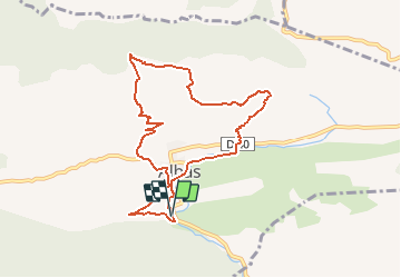

19 km | 27 km-effort


User


FREE GPS app for hiking
 SityTrail
IGN / Geographical institutes
SityTrail World
The world is yours!
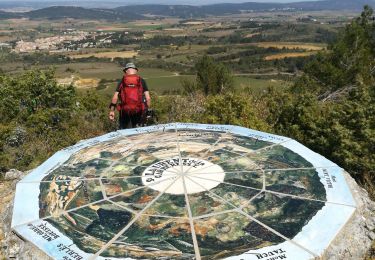
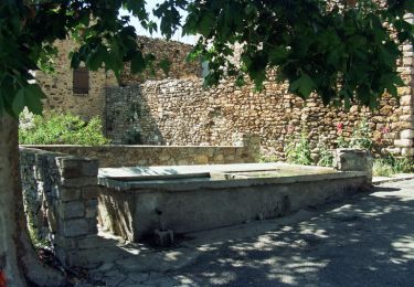
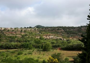
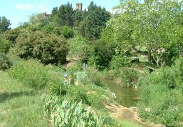
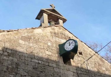
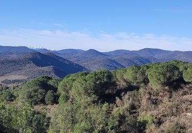
Trail On foot of 9.1 km to be discovered at Occitania, Aude, Albas. This trail is proposed by SoleilMoussanais.
Randonnée qui fait découvrir le plissement des couches géologiques dans les Corbières. Percussion qui a eu lieu entre 65 et 24 MA et aprovoqué le soulèvement des Pyrénées.
Walking
Walking
Walking
Walking
Walking
Walking
Walking