


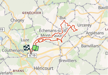


12 km | 16.4 km-effort

User


FREE GPS app for hiking
 SityTrail
IGN / Geographical institutes
SityTrail World
The world is yours!
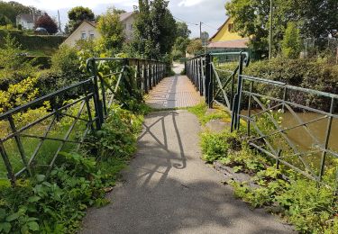
Trail Walking of 16.4 km to be discovered at Bourgogne-Franche-Comté, Haute-Saône, Héricourt. This trail is proposed by Bart2015.
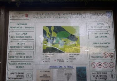
Plongeon dans le monde après la défaite de la guerre de 1870, Belfort se situe à quelques kilomètres de la frontière allemande ...
Bonne randonnée


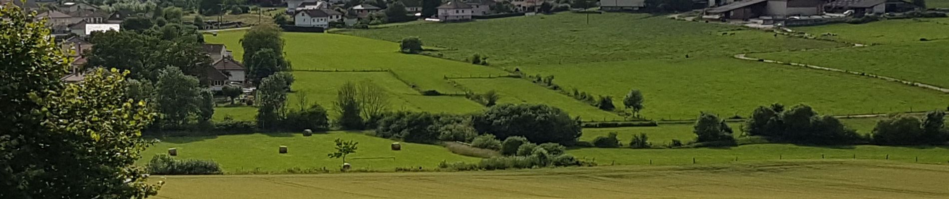
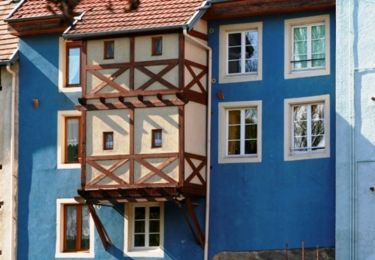
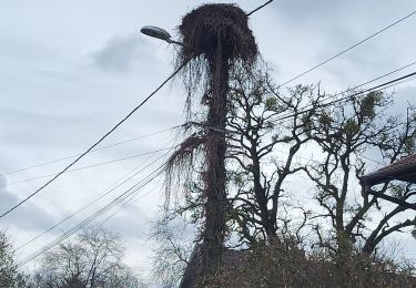
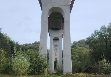
56 photos in total. Please click on a photo to see them all in the gallery.
Walking

Walking
Walking
Walking
Walking
Mountain bike
Mountain bike
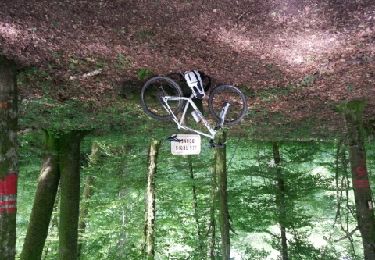
Mountain bike
Nordic walking