


13.1 km | 27 km-effort

User


FREE GPS app for hiking
 SityTrail
IGN / Geographical institutes
SityTrail World
The world is yours!
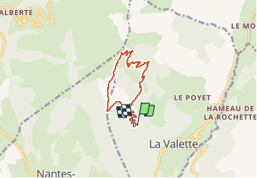
Trail Walking of 8.2 km to be discovered at Auvergne-Rhône-Alpes, Isère, La Valette. This trail is proposed by GuyVachet.
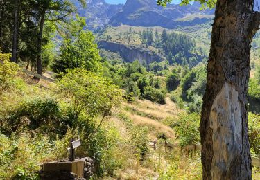
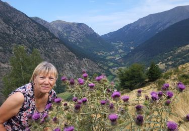
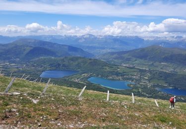
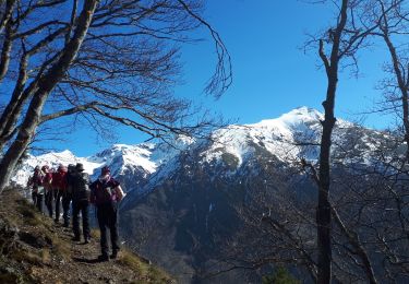
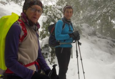
Boucle en approche du Piquet de Nantes par le Rocher Noir. Montée par la Grande Combe, itinéraire moins couru que celui utilisé pour la descente. Lorsqu'on prend pied sur la croupe (1550m) la montée dans l’alpage devient très soutenue. A la Fontaine de Bigasset, il ne restait que 230m à gravir pour atteindre le Piquet de Nantes mais du fait des conditions du jour, nous avons préféré en rester là et descendre par le chemin plus classique qui est particulièrement agréable.

Walking

Walking
Touring skiing
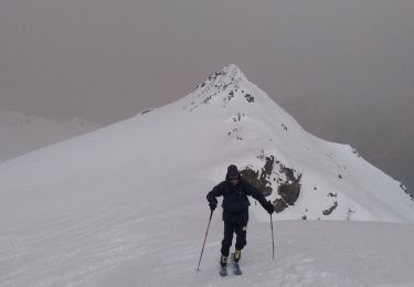
Touring skiing
Walking
Walking
Walking
Walking
Walking