


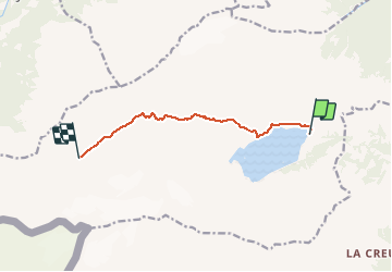

14.3 km | 17.1 km-effort


User


FREE GPS app for hiking
 SityTrail
IGN / Geographical institutes
SityTrail World
The world is yours!
Trail Walking of 7.3 km to be discovered at Valais/Wallis, Saint-Maurice, Evionnaz. This trail is proposed by chablaisinfo.
Dem Weg am See entlang bis zur Gabelung, dann in Richtung des ausgetrockneten Sees von Lanvouisset folgen. Der Weg steigt rechts in Richtung Col de Susanfe an. Die hier angebrachte Kette erleichtert die Überquerung der Felswand.
Bei starkem Schneefall empfiehlt es sich, den so genannten Winterweg zu nehmen, der links entlang dem Tal « Plan Château » verläuft.
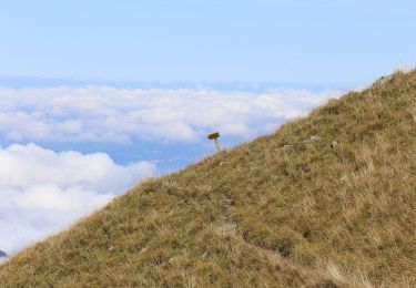
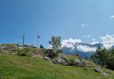
Zwischen Haute Cîme und der Tour Sallière am Col de Susanfe befindet sich ein breiter Taleinschnitt.
Die Motiviertesten können vom Col de Susanfe aus die Haute Cîme (3257 m) besteigen. 360°-Panoramablick über die gesamten französisch-schweizerischen Alpen. Abstieg zurück zum Col de Susanfe über denselben Weg.
Von dieser Mondlandschaft aus Abstieg zur Cabane de Susanfe.
* Variante einschliesslich einer zusätzlichen Übernachtung:
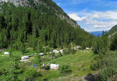
Auberge de Salanfe - Refuge des Dents du Midi (2884 m)
Von Salanfe aus dem Weg zum Col du Jorat 500 Meter bis zum Weiler « Saut Pécaz » folgen, dann nach links abbiegen. Achtung: Der Weg ist sehr steil. Von der Schutzhütte aus starten alle Aufstiege zum Massiv der Dents du Midi.
Refuge des Dents du Midi - Cabane de Susanfe
Abstieg bis zur Weggabelung. Nach rechts Richtung Susanfe abbiegen. Der steinige Weg führt am Fuss des Col de Susanfe wieder zum Streckenverlauf der Tour zurück.
Die hier angebrachte Kette erleichtert die Überquerung der Felswand. Zwischen Haute Cîme und der Tour Sallière am Col de Susanfe befindet sich ein breiter Taleinschnitt. Von dieser Mondlandschaft aus Abstieg zur Cabane de Susanfe.
On foot

Walking
On foot
On foot
Walking
Walking
Walking
Walking
Walking