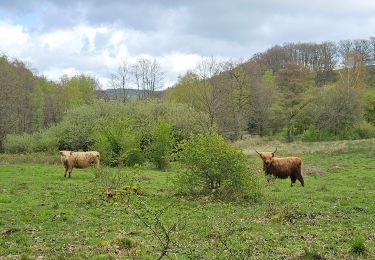
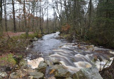
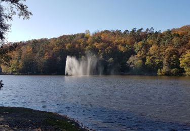
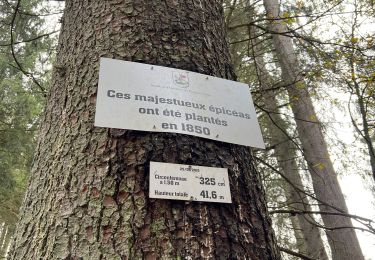
Trail Walking Stavelot - Ster Libert - Photo
© OpenStreetMap contributors
Length
Length
19.3 km
Max alt
Max alt
529 m
Uphill gradient
Uphill gradient
441 m
Km-Effort
Km-Effort  
25 km
Min alt
Min alt
397 m
Downhill gradient
Downhill gradient
440 m
Boucle
Boucle
Yes
Creation date :
2020-06-06 11:58:56.0
Updated on :
2020-06-11 13:52:43.095

(0 Reviews)

Walking
Walking
4h05
Difficulty : Unknown

Scan this QR Code to open this trail in the SityTrail application

FREE GPS app for hiking

Logo SityTrail SityTrail

IGN / Geographical institutes

Download SityTrail from the App Store Download SityTrail from Google Play

Logo SityTrail SityTrail World

The world is yours!

Download SityTrail from the App Store Download SityTrail from Google Play Download SityTrail on Huawei AppGallery

About

Trail Walking of 19.3 km to be discovered at Wallonia, Liège, Stavelot. This trail is proposed by charlidou.

Elevation profile

Positioning

Country:
Belgium
Region :
Wallonia
Department/Province :
Liège
Municipality :
Stavelot
Location:
Francorchamps
Start:(UTM)
710109 ; 5593860 (31U) N.

Comments

Please log in to post a review or rate the element


Bonjour, le départ se fait a un endroit ou il y a un Parking ? merci


Trails nearby

Trail Walking Malmedy - Malmedy - Baugnez - Photo
Walking
GUIDE
mumu.larandonneuse

Walking

Medium
(1)
Malmedy, Wallonia, Liège, Belgium
14.8 km | 18.9 km-effort
3h 15min
Yes
Trail Walking Stavelot - 20211213 - Hockay 5.4 Km - Photo
Walking
GUIDE
pierreh01

Walking

Medium
(3)
Stavelot, Wallonia, Liège, Belgium
5.1 km | 6.6 km-effort
1h 34min
Yes
Trail Walking Spa - Lac de Warfaaz - Nivezé - Stockay - Photo
Walking
GUIDE
mumu.larandonneuse

Walking

Medium
(7)
Spa, Wallonia, Liège, Belgium
13.1 km | 17.2 km-effort
2h 58min
Yes
Trail Walking Stavelot - Hockai ❄️☃️ - Photo
Walking
GUIDE
mumu.larandonneuse

Walking

Easy
(1)
Stavelot, Wallonia, Liège, Belgium
2.6 km | 3 km-effort
41min
Yes
Trail Walking Stavelot - Francorchamps  - Photo
Walking
motou.bedeur1@gmail.com

Walking

(1)
Stavelot, Wallonia, Liège, Belgium
13.4 km | 18.2 km-effort
3h 56min
Yes
Trail Walking Stavelot - Chemin des Sources |stage 4 HOCKAI - HOËGNE - SOLWASTER - Photo
Walking
PRO

Walking

Difficult
(1)
Stavelot, Wallonia, Liège, Belgium
15.1 km | 18.6 km-effort
4h 13min
No
Trail Walking Stavelot - Chemin des Sources |stage 2 FRANCORCHAMPS - COO - STAVELOT - Photo
Walking
PRO

Walking

Very difficult
(1)
Stavelot, Wallonia, Liège, Belgium
24 km | 35 km-effort
7h 53min
No
Trail Walking Stavelot - Francorchamps roannay rive gauche - Ruy retour rive droite - Photo
Walking
GUIDE
stef789

Walking

Medium
(2)
Stavelot, Wallonia, Liège, Belgium
12.8 km | 17.1 km-effort
4h 0min
Yes
Trail Walking Spa - grand tour de la fagne depuis Malchamps - Photo
Walking
GUIDE
stef789

Walking

Very easy
(2)
Spa, Wallonia, Liège, Belgium
8.3 km | 9.7 km-effort
2h 13min
Yes


Close
My subscriptions