


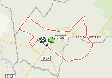


13.6 km | 16 km-effort


User


FREE GPS app for hiking
 SityTrail
IGN / Geographical institutes
SityTrail World
The world is yours!
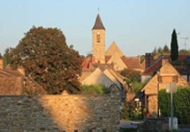
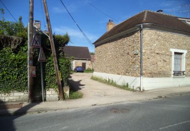
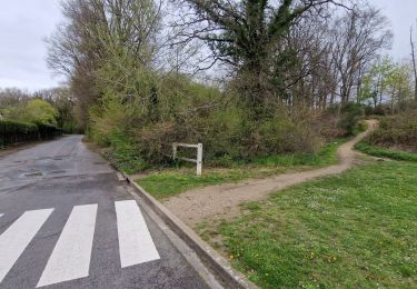
Trail Walking of 9 km to be discovered at Ile-de-France, Yvelines, Bullion. This trail is proposed by jchezlemas.
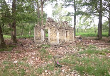
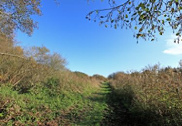
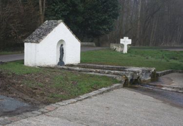
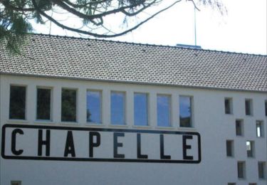
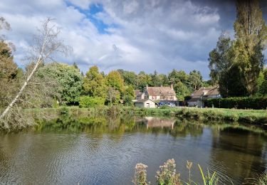
Dans le Parc Naturel de la Haute Vallée de Chevreuse, une randonnée essentiellement en forêt, avec des essences variées et des mares cachées dans les sous-bois de fougères. La Fontaine Sainte-Anne, qui fut longtemps l'objet de pèlerinages, offre un cadre agréable pour une halte.
Walking

Walking
Walking
Walking
Walking
Walking
Walking
Walking
Walking