


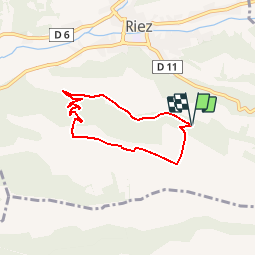

21 km | 26 km-effort


User


FREE GPS app for hiking
 SityTrail
IGN / Geographical institutes
SityTrail World
The world is yours!
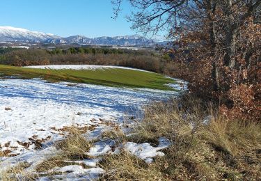
Trail Walking of 5.8 km to be discovered at Provence-Alpes-Côte d'Azur, Alpes-de-Haute-Provence, Riez. This trail is proposed by riez.
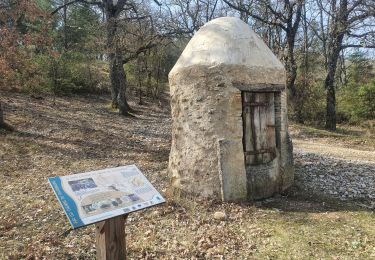
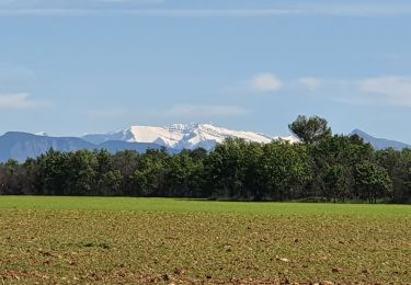
Promenade familiale agréable. à faire au printemps car toute la nature est en éveil. Véritable paradis pour la photo de papillons et de fleurs.

Mountain bike
Walking
Walking
Walking

Walking
Walking
Walking

Road bike

Mountain bike