


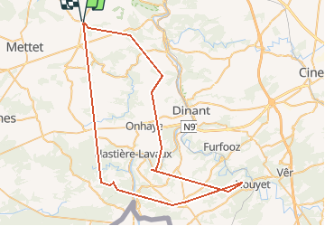


16.7 km | 21 km-effort

User


FREE GPS app for hiking
 SityTrail
IGN / Geographical institutes
SityTrail World
The world is yours!
Trail Mountain bike of 67 km to be discovered at Wallonia, Namur, Mettet. This trail is proposed by ccd.


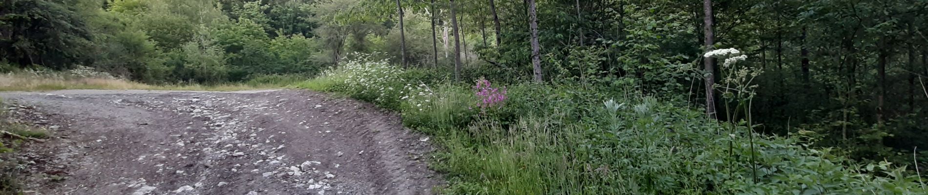
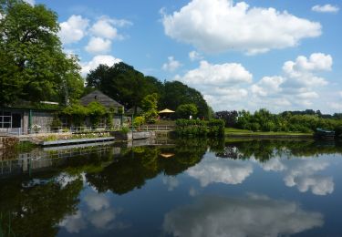
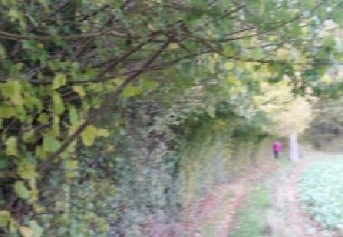
39 photos in total. Please click on a photo to see them all in the gallery.

Walking

Walking
Walking

Walking

Walking

Walking

Walking

Walking
Walking
comment apprécier cette application si on reçoit pas tous les détails lors de l'essai