9.4 km | 11.3 km-effort
autour de Broglie
ymarvin
User
Length
8.6 km
Max alt
194 m
Uphill gradient
72 m
Km-Effort
9.6 km
Min alt
139 m
Downhill gradient
75 m
Boucle
Yes
Creation date :
2020-06-07 11:33:41.566
Updated on :
2020-06-07 13:20:08.652
1h45
Difficulty : Very easy
FREE GPS app for hiking
About
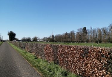
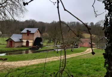
Trail Walking of 8.6 km to be discovered at Normandy, Eure, Broglie. This trail is proposed by ymarvin.
Description
Départ place de la mairie
Suivre bleu
Positioning
Country:
France
Region :
Normandy
Department/Province :
Eure
Municipality :
Broglie
Location:
Unknown
Start:(Dec)
Start:(UTM)
319314 ; 5431411 (31U) N.
Comments
Trails nearby
Ferrières St Hilaire
Walking
Very easy
(1)
Ferrières-Saint-Hilaire,
Normandy,
Eure,
France
2h 25min
Yes
Circuit de Bonneville - Chamblac
Walking
Medium
Chamblac,
Normandy,
Eure,
France
11.2 km | 12 km-effort
2h 45min
Yes
La Mare Péreuse - La Chapelle-Gauthier
Walking
Medium
La Chapelle-Gauthier,
Normandy,
Eure,
France
10.3 km | 11.9 km-effort
2h 45min
Yes
Boucle des 3 Maréchaux - Broglie
Cycle
Medium
Broglie,
Normandy,
Eure,
France
18.5 km | 20 km-effort
1h 15min
Yes
Circuit du Prieuré - Broglie
Walking
Difficult
(1)
Broglie,
Normandy,
Eure,
France
13.2 km | 14.9 km-effort
3h 19min
Yes
boucle de St Aubin
Walking
Easy
Saint-Aubin-du-Thenney,
Normandy,
Eure,
France
5.2 km | 5.7 km-effort
1h 1min
Yes