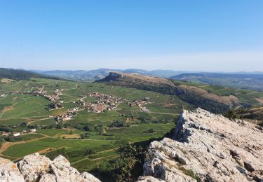
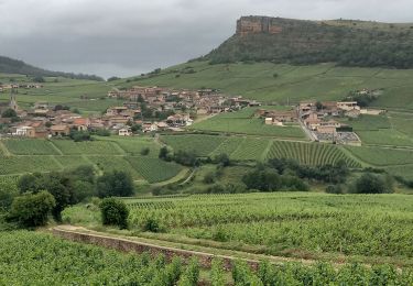
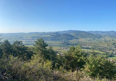
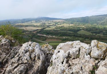
8.4 km | 12.2 km-effort
SERRIERES 20km
Bonsaicd
User
Length
19.7 km
Max alt
703 m
Uphill gradient
886 m
Km-Effort
32 km
Min alt
284 m
Downhill gradient
886 m
Boucle
Yes
Creation date :
2020-06-06 18:44:33.576
Updated on :
2020-06-08 14:53:26.377
6h29
Difficulty : Very difficult
FREE GPS app for hiking
About
Trail Walking of 19.7 km to be discovered at Bourgogne-Franche-Comté, Saône-et-Loire, Serrières. This trail is proposed by Bonsaicd.
Positioning
Country:
France
Region :
Bourgogne-Franche-Comté
Department/Province :
Saône-et-Loire
Municipality :
Serrières
Location:
Unknown
Start:(Dec)
Start:(UTM)
629532 ; 5130162 (31T) N.
Comments
Trails nearby
Mâcon - Sentier des crêtes 16/02/2020
Walking
Easy
(1)
Solutré-Pouilly,
Bourgogne-Franche-Comté,
Saône-et-Loire,
France
2h 11min
Yes
Roche de Solutré 4km
Walking
Easy
(1)
Solutré-Pouilly,
Bourgogne-Franche-Comté,
Saône-et-Loire,
France
3.7 km | 5.5 km-effort
2h 0min
Yes
RTT 2015 SAMEDI
Mountain bike
Difficult
(2)
Serrières,
Bourgogne-Franche-Comté,
Saône-et-Loire,
France
66 km | 98 km-effort
6h 7min
Yes
Chateau de Pierreclos - Bourgogne - Aout 2012
Walking
Easy
(1)
Pierreclos,
Bourgogne-Franche-Comté,
Saône-et-Loire,
France
18.4 km | 26 km-effort
4h 39min
Yes
roche de soluté, roche de Vergisson
Walking
Difficult
Solutré-Pouilly,
Bourgogne-Franche-Comté,
Saône-et-Loire,
France
11.2 km | 17.4 km-effort
4h 38min
Yes
Vergisson Les deux Roches page 76
Walking
Very difficult
Vergisson,
Bourgogne-Franche-Comté,
Saône-et-Loire,
France
15.2 km | 22 km-effort
5h 4min
Yes
Land art Somméré
sport
Very easy
La Roche-Vineuse,
Bourgogne-Franche-Comté,
Saône-et-Loire,
France
5.1 km | 7.1 km-effort
Unknown
Yes
La roche de Solutré
Walking
Easy
Solutré-Pouilly,
Bourgogne-Franche-Comté,
Saône-et-Loire,
France
3.4 km | 4.8 km-effort
1h 17min
Yes
2022-10-30_11h56m06_monsart-vergisson-solutre
Walking
Difficult
(1)
Milly-Lamartine,
Bourgogne-Franche-Comté,
Saône-et-Loire,
France
24 km | 37 km-effort
8h 19min
Yes