


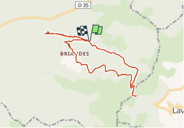

9.3 km | 12.4 km-effort


User


FREE GPS app for hiking
 SityTrail
IGN / Geographical institutes
SityTrail World
The world is yours!
Trail Walking of 10.8 km to be discovered at Occitania, Hérault, Lunas. This trail is proposed by coulombf.
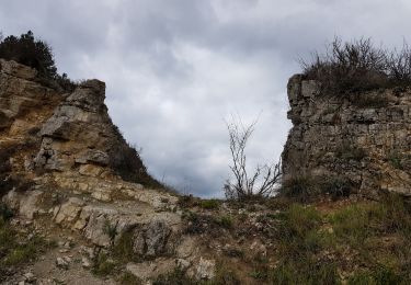
06/06/2020 Reconnaissance avec Jacques et Nicole Brivet, Brigitte Fleury, Lyane Bergerioux.
Démarrer la marche devant l'église (possibilité de garer de nombreux véhicules)

Nordic walking

Nordic walking
Walking

Walking

Walking
Walking
Nordic walking

Walking