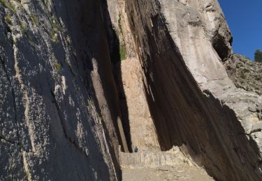
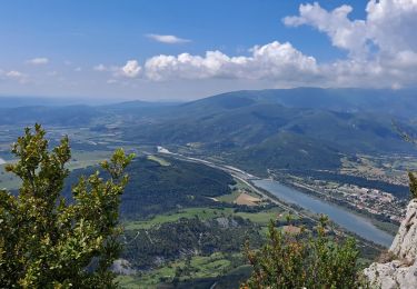
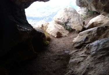
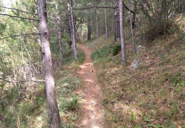
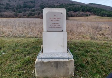
9.1 km | 17.9 km-effort
2020-02-23_07h48m00_SityTrail-2338028-rando-sainte-croix-le-final (1)
vquad
User
Length
161 km
Max alt
828 m
Uphill gradient
3220 m
Km-Effort
204 km
Min alt
393 m
Downhill gradient
3221 m
Boucle
Yes
Creation date :
2020-02-23 06:48:02.2
Updated on :
2020-06-06 02:20:07.238
FREE GPS app for hiking
About
Trail of 161 km to be discovered at Provence-Alpes-Côte d'Azur, Alpes-de-Haute-Provence, Peipin. This trail is proposed by vquad.
Positioning
Country:
France
Region :
Provence-Alpes-Côte d'Azur
Department/Province :
Alpes-de-Haute-Provence
Municipality :
Peipin
Location:
Unknown
Start:(Dec)
Start:(UTM)
735955 ; 4893621 (31T) N.
Comments
Trails nearby
Le Trou de l'Argent Via Sisteron
Walking
Difficult
(1)
Sisteron,
Provence-Alpes-Côte d'Azur,
Alpes-de-Haute-Provence,
France
4h 4min
Yes
les 2 sommets sr Jean et tigne
Running
Medium
(1)
Volonne,
Provence-Alpes-Côte d'Azur,
Alpes-de-Haute-Provence,
France
10.4 km | 16.2 km-effort
1h 7min
Yes
05 trop argent 02.08.23
Walking
Medium
Sisteron,
Provence-Alpes-Côte d'Azur,
Alpes-de-Haute-Provence,
France
9.2 km | 18.1 km-effort
4h 30min
Yes
Trou de l'argent
Walking
Difficult
Sisteron,
Provence-Alpes-Côte d'Azur,
Alpes-de-Haute-Provence,
France
9.2 km | 18.1 km-effort
4h 7min
Yes
Montagne de Baume
Walking
Medium
Sisteron,
Provence-Alpes-Côte d'Azur,
Alpes-de-Haute-Provence,
France
9 km | 17.8 km-effort
3h 51min
Yes
Sisteron La Baume Trou d'Argent
Walking
Easy
(1)
Sisteron,
Provence-Alpes-Côte d'Azur,
Alpes-de-Haute-Provence,
France
9.3 km | 18.4 km-effort
4h 15min
Yes
05 mollard zel
Walking
Medium
Sisteron,
Provence-Alpes-Côte d'Azur,
Alpes-de-Haute-Provence,
France
12.8 km | 19.9 km-effort
4h 25min
Yes
SISTERON . CHAMP BRANCOU . LA COLLE . LE MOLLARD O L S
Walking
Difficult
(1)
Sisteron,
Provence-Alpes-Côte d'Azur,
Alpes-de-Haute-Provence,
France
13.1 km | 20 km-effort
3h 46min
Yes
aubignosc. les canyons. partie basse
Walking
Medium
Aubignosc,
Provence-Alpes-Côte d'Azur,
Alpes-de-Haute-Provence,
France
7.9 km | 11.1 km-effort
2h 50min
Yes